
Eh, close enough.
For the map enthused!
Rules:
post relevant content: interesting, informative, and/or pretty maps
be nice
Eh, close enough.
I was gonna say.
Want to see the map of Asia that most US-Americans could draw.
Nobody’s asking anyone to draw a map from memory. They’re asking a news channel to put in the 5 seconds of googling it takes to procure an accurate map.
==============================
            Russia
==============================
    Iran     | China | Japan
==============================
Saudi Arabia | India | Vietnam
==============================Basically China, India and Japan with a Vietnam somewhere but they don’t want to talk about it.
Hey now, North Korea is in there somewhere by Vietnam, too.
If you had to condense it for a videogame, this would cover most bases.
I don't get this though. Maps are free online. You don't even have to guess anymore.
Exactly. Maps are free. Joke maps are also free. So instead of paying money, and somebody taking that money and assuring you this is the right thing. You get a free map, that might be a joke, but you don't know it's a joke cuz you don't know the map. And we get some funnies
Where do they take maps from? 9gag? I mean, maps.google.com is free. It can't be any easier.
I mean 9gag stands for 9 Good American Guys right? What better place to get your accurate American maps from?
Have you ever tried drawing a map from memory? It's interesting, what you do and don't remember and why. That's why this is funny - what's salient to the other person and what's not. No American would want Florida to be bigger, for instance.
Honestly not far off
How dare you split Michigan logically!
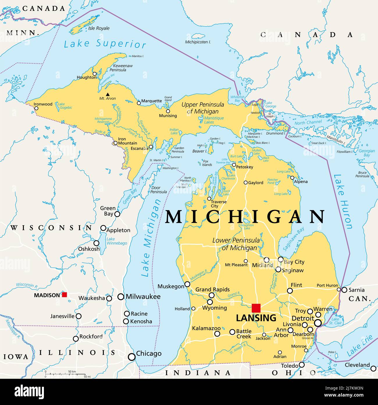
Can you explain to the non-US citizen the split in Michigan? If you want I can explain the split in Lorraine, France in exchange (^_^)
The state of Michigan exists on both sides of the great lakes (which are effectively freshwater oceans, containing their own maritime economies, marine salvage operations, maritime weather and even famous lost ships) so there's the Michigan mainland which contains major cities like Detroit, Lansing, Ann Arbor and Grand Rapids, but then there's the "upper penninsula" which is heavily wooded and some consider a continuation of the "north woods" of Wisconsin. Map for context:
A bit like a map on how Europe is perceived by Americans, where whole Germany is Bavaria.
As if Americans have any idea what Bavaria is. And if they could even name one city in Germany it certainly wouldn't be anything in the south, it'd be Hamburg, because hamburgers lol
Was this a news report from the future on the signing of the Treaty of 2034 that ended the second US Civil War?
As a Canadian I would cut out part of Texas at the top for “Americans that think they are Canadian”
But it’s pretty accurate
Ok but you need to give us Alberta as Canadians that think they're American
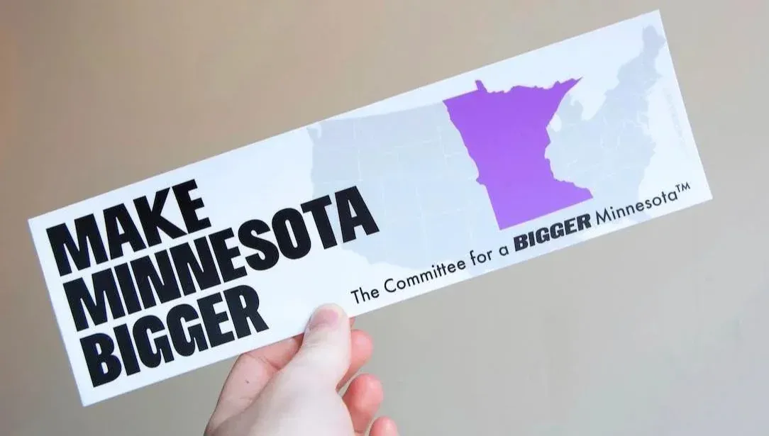
As much as I hate Minnesotans for thinking they are us
I would gladly make that trade
I like how the New York, Florida, and Texas tristate border still makes my homeland of western Kentucky instantly recognizable by the weird little nubbin that is the Jackson Purchase.
If you had to divide the mainland US into 4 "regions" this is probably the best way to split it.
I contest this by pointing out that Arizona is basically the grumpy younger sibling of California and is not allowed to hang out with Texas.
the four corners states all going to go live with the pacific side of the family except for Utah who thinks the devil's lettuce has corrupted them all
It certainly feels that way sometimes.
This is what those “state vs state battle royale” fantasy war simulators look like after a couple rounds
Where is Gotham and Springfield
are they wrong tho
I know I don't live in Texas because we still have electricity running here. Florida checks out though!
looks about right...
I mean I've seen worse "The US according to foreigners" maps. At least all of those regions contain the states their named for.
Wait, Alaska is missing!
I mean, only like half
Its a map of the lower 4~~8~~ states
This ad brought to you by the bipartisan Canadiasexicans and Texasexicans super pac union for the succession of Sexico
I love how jarring the border of what would normally be Nevada is compared to the rest of the borders on this map lmao. Also love how Michigan is split in half between NY and Texas
Some Sri Lankans in Chi =(