this post was submitted on 01 Jul 2024
286 points (98.3% liked)
196
16514 readers
2821 users here now
Be sure to follow the rule before you head out.
Rule: You must post before you leave.
founded 1 year ago
MODERATORS
you are viewing a single comment's thread
view the rest of the comments
view the rest of the comments

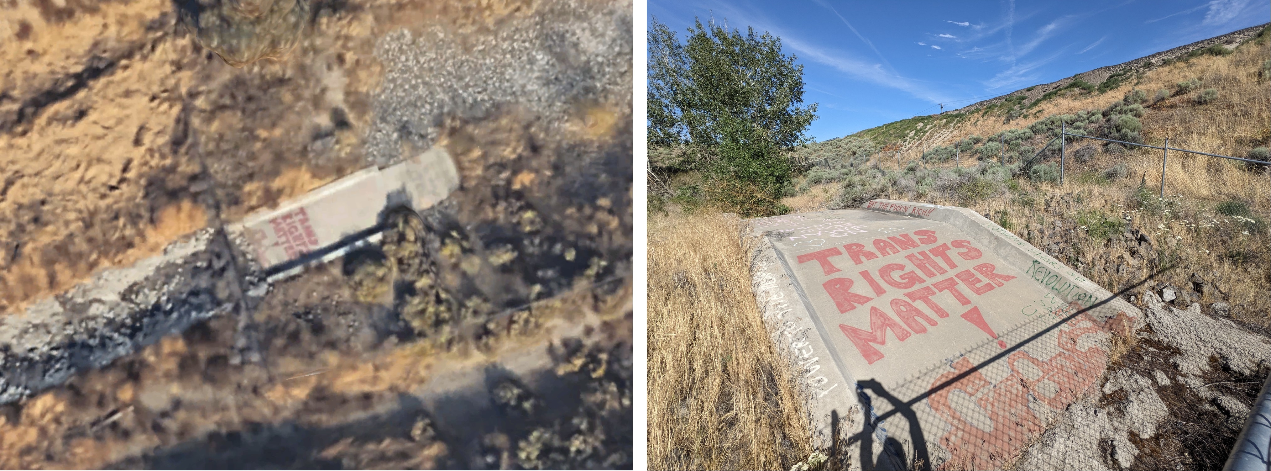
To be fair most of the map imagery we use from google/apple/etc is from planes and not satellites
Ahhh ok yeah I was wondering the same thing. Still impressive.
I'm pretty sure spy satellites do have even greater resolution, only thing is that you're not gonna use something like that for a map view and it would be very inefficient, since those satellites certainly don't have the same field of view and would take a lot longer to scan the appropriate area, and are limited in number.