142
Moscow court orders Yandex to hide oil refinery on maps after Ukrainian drone attacks
(www.pravda.com.ua)
News and discussion related to Ukraine
🇺🇦 Sympathy for enemy combatants is prohibited.
🌻🤢No content depicting extreme violence or gore.
💥Posts containing combat footage should include [Combat] in title
🚷Combat videos containing any footage of a visible human involved must be flagged NSFW
❗ Server Rules
💳💥 Donate to support Ukraine's Defense
💳⚕️⛑️ Donate to support Humanitarian Aid
🪖 🫡 Volunteer with the International Legionnaires
Unless russia manages to pick up and physically move all the refineries, I'm pretty sure Ukraine can figure out that they are in the same old locations
...as long as they're not being destroyed ;)
In due time they will be :)
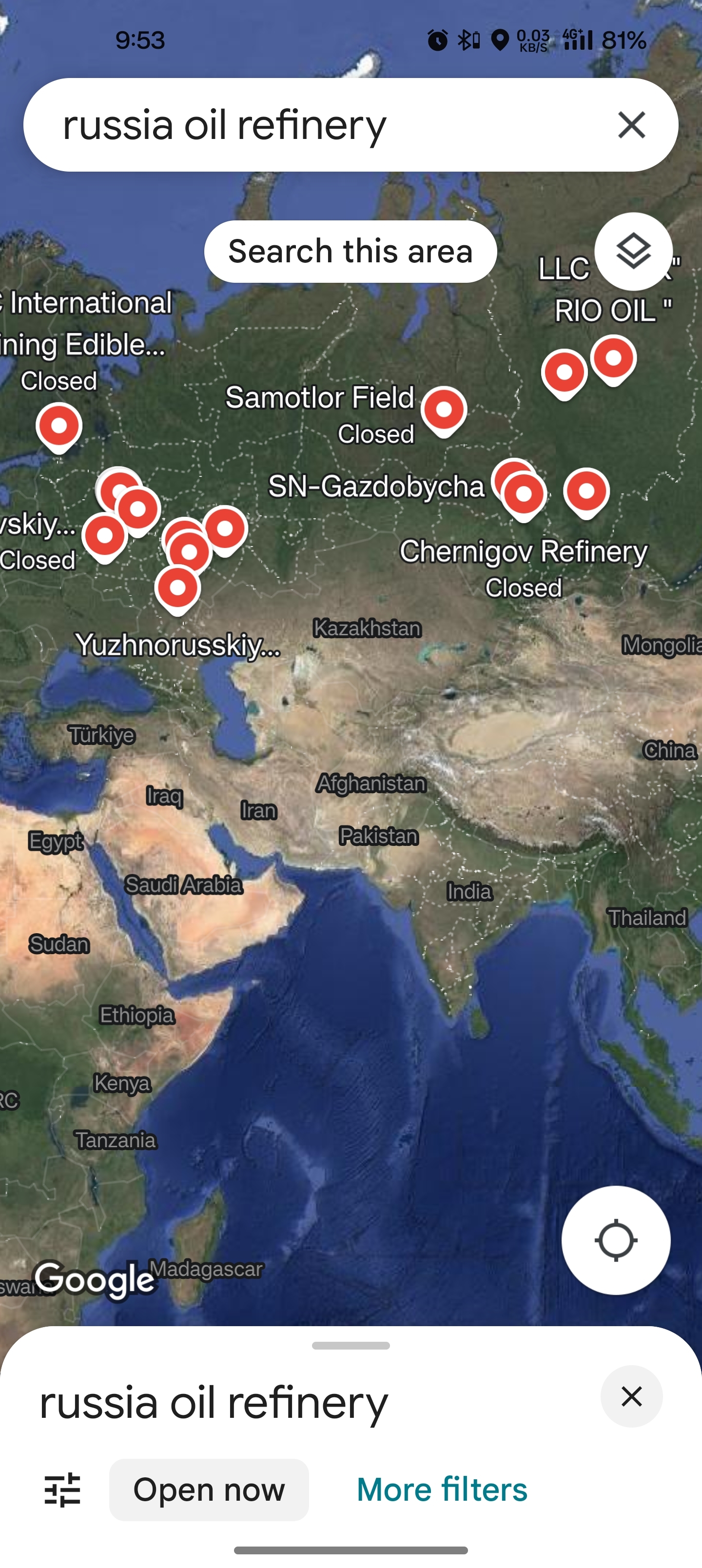
Or just use google
It wouldn’t be the Russians first time just moving whole cities
The Soviet-era approach to trying to secure map data was also a lot more elaborate than what's happening here.
https://www.nytimes.com/1988/09/03/world/soviet-aide-admits-maps-were-faked-for-50-years.html
Soviet Aide Admits Maps Were Faked for 50 Years
Sept. 3, 1988
The Soviet Union's chief cartographer acknowledged today that for the last 50 years the Soviet Union had deliberately falsified virtually all public maps of the country, misplacing rivers and streets, distorting boundaries and omitting geographical features, on orders of the secret police.
In an interview published tonight in the Government newspaper Izvestia, the chief map maker, Viktor R. Yashchenko, said the authorities had agreed to begin releasing accurate maps that have been classified as state secrets since the time of Stalin. Western experts said the maps apparently were distorted out of fear of aerial bombing or foreign intelligence operations.
As one example, American diplomats and correspondents based in Moscow find that the most reliable street map of Moscow is produced in the United States, by the Central Intelligence Agency.
The falsification of Soviet maps, Mr. Yashchenko told Izvestia, began in the late 1930's when the map-making administration was put under control of the security police, then known as the N.K.V.D.
''Even in the post-Stalin time the distortion of generally available maps continued as a requirement of the work of our administration,'' he said. ''This work became senseless with the appearance of space photography,'' which meant foreign countries could make their own extremely accurate maps from satellite data. ''But nevertheless it continued until this year,'' he said.
Thanks for confirming!
Lmao. Yeah that will work.
Ukraine: opens txt file with refinery coordinates
"Damn, I guess I have to abandon my plans"
Western satelites says hi.
(Also, pretty sure some nerd in Ukraine already downloaded all the maps from every map provider)
Oil and gas is half of russian exports. Gas is basically closed now (one pipeline left). Russia is so fucked once Ukraine blows up the oil refineries. No more money, no more military vehicles. They are very lucky that they don't have any territory that China wants (apart from Mongolia + Russia north of Mongolia but that's a bit much).
Russia has the world's fourth-largest reserves of rare earth metals, which they're struggling to exploit due to lack of technology. China is the number one global supplier, and has all of the tech. I think they would very much like control of all their mines.
Actually taking the territory? Well, then you'd just have to look after tens of millions of poverty-stricken, barely-literate russians in the east of the country. Seeing russia reduced to economic ruin by the war in Ukraine, and then taking control of all their industry and being able to operate russia as a puppet state? Well, that sounds more like a long-term plan.
Barely literate?
lol, ok
So the Russians are "smart enough" to tell everyone that their targets are the "blank spots" on the map. That should help the Ukrainians steer clear of them 🧠!
My guess is that the drones that they're using don't have a payload large enough to obliterate an entire refinery, and that they're doing more-precise targeting of things at a refinery than "hit the refinery somewhere". If Russia could block access to all satellite imagery of the refinery, it'd probably have an impact.
The problem, though, as others have pointed out, is that Ukraine probably doesn't depend on Yandex-provided satellite imagery.
Choosing one commercial provider, Planet Labs in the US stores and sells current and historical images of world land masses every day.
https://www.planet.com/products/satellite-monitoring/
Planet Monitoring provides near-daily, 3.7-meter resolution imagery covering all of Earth’s landmass.
That's just generally-available commercial stuff, not even military stuff, which I suspect Ukraine gets.
Part of the last aid package of the US included commercial satellite images. Probably a subscription or something similar.. just in case DOD no longer is allowed to provide. Also that resulution is probably enough for most things, while targeting specifics can be pictures more adhoc or surveiled with a drone.
Ah, gotcha. It sounds like it's been provided in aid packages for a while. This was a year-and-a-half ago:
The latest U.S. security assistance tranche for Ukraine, valued at $1.2 billion, includes funding for commercial satellite imagery services as well as a slew of air-defense capabilities.
I remember reading shortly after the cold War that Russian road maps were unreliable as their thinking was this would confuse invading armies. Can anyone confirm this?
Yes, here's a comment from this thread! https://lemmy.today/comment/13291199
They falsified maps for 50 years
Come back, someone posted about it below. I'm too lazy to link it though. :)