Oh hey, someone is looking at all this - Cheers! Let me know if there's anything you can think of to improve what I've got going on here. I'm stitching these maps together in photoshop, so I can overlay just about anything if it's helpful.
The current overlay is super interesting... the lower portion of the fire is almost exactly following the 1970's fire line. That must be a good place to stop it!
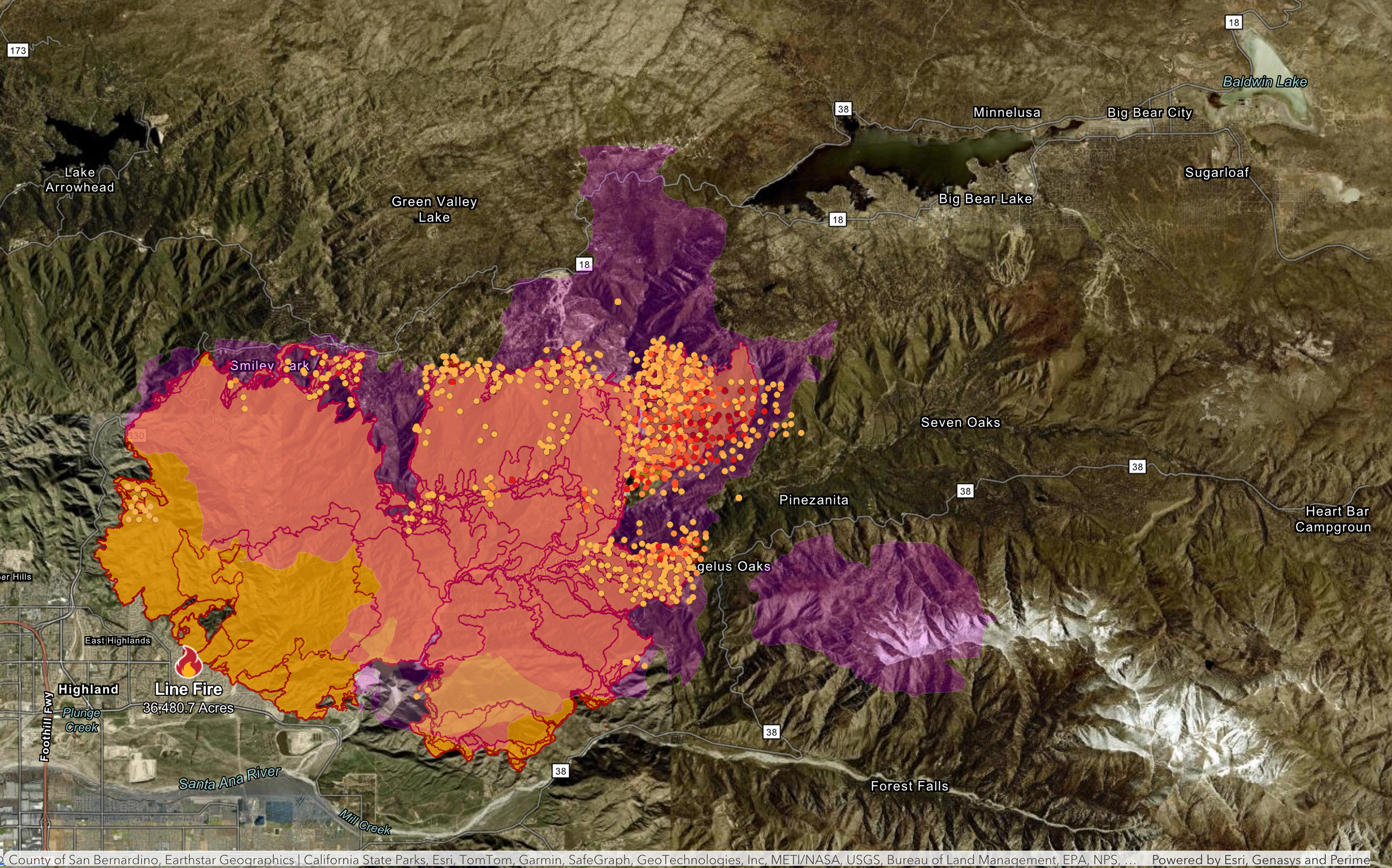
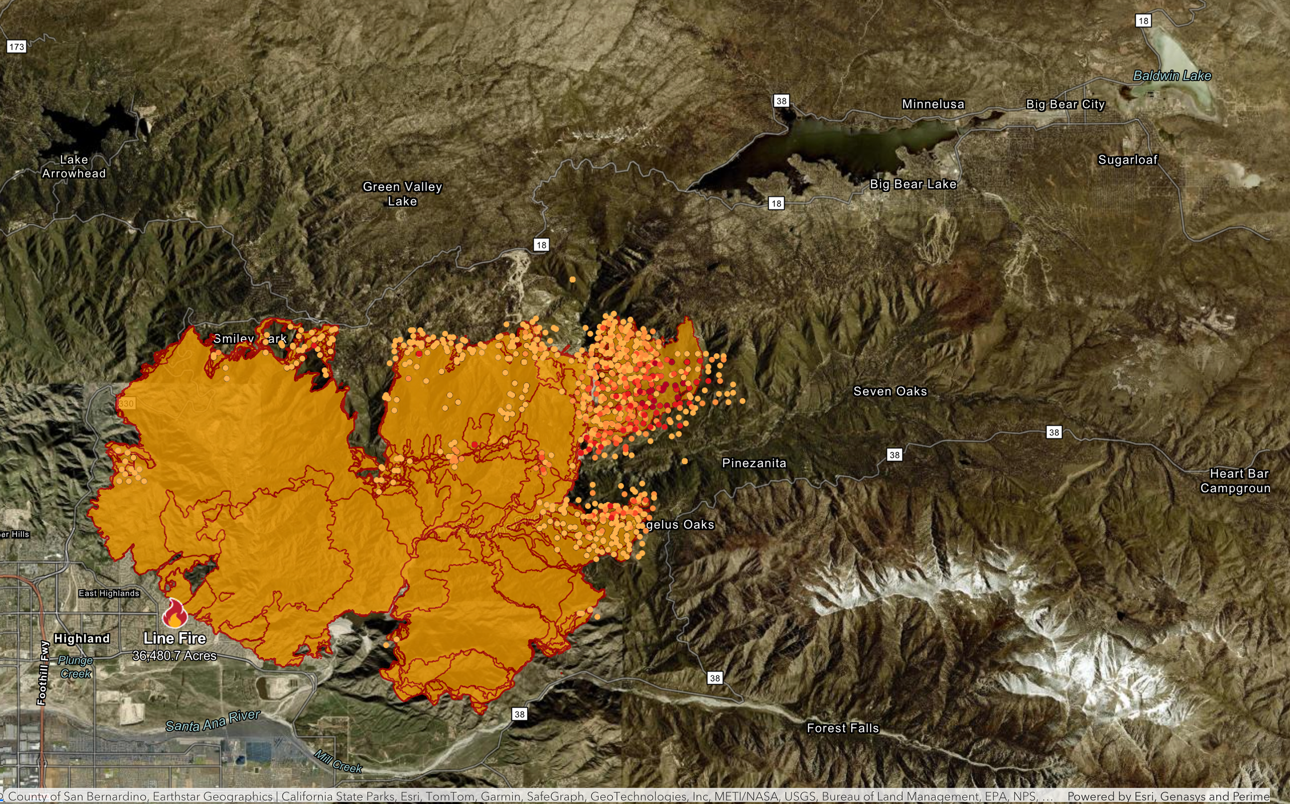
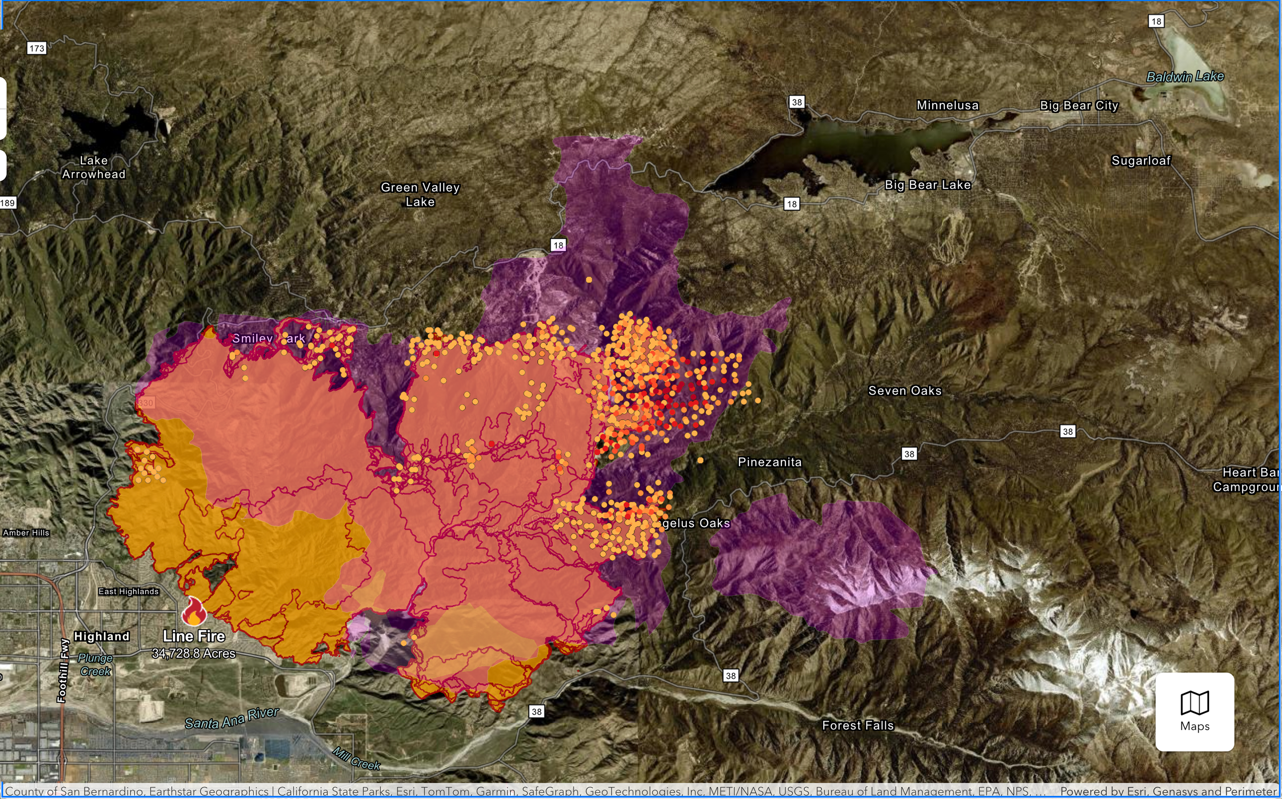
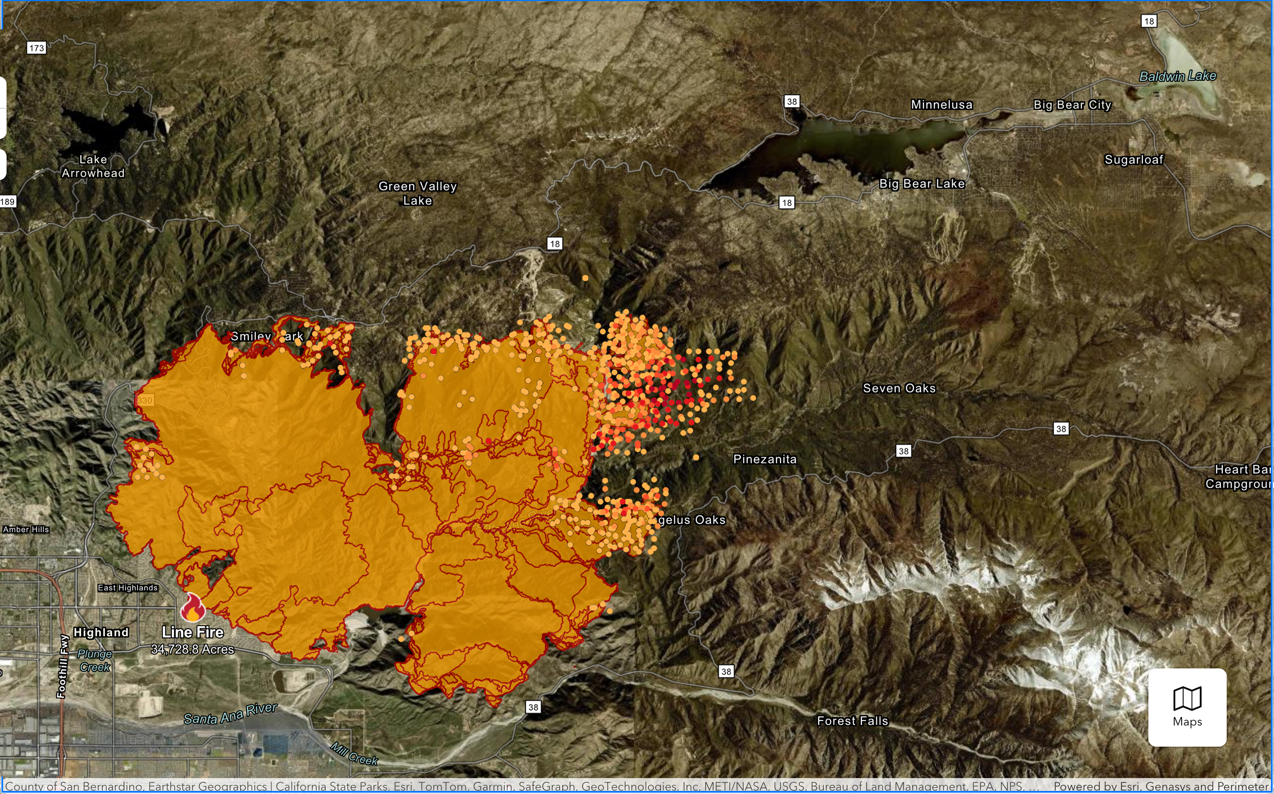
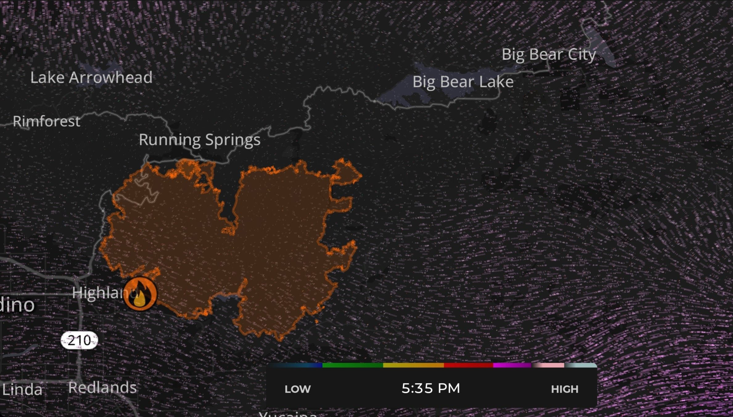

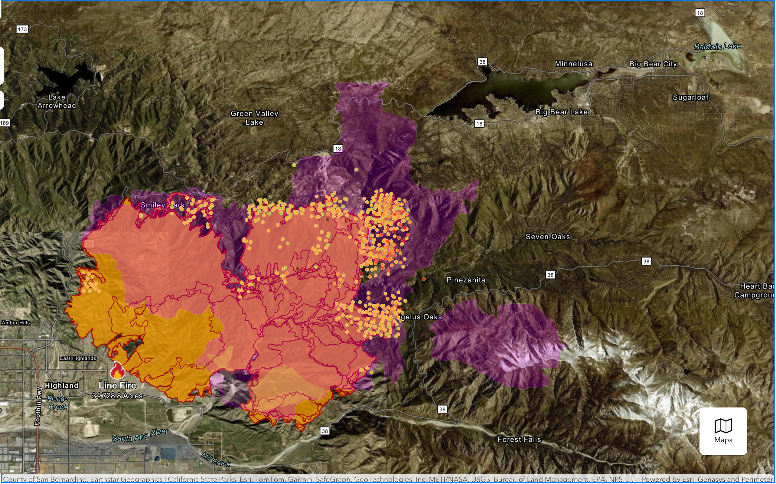
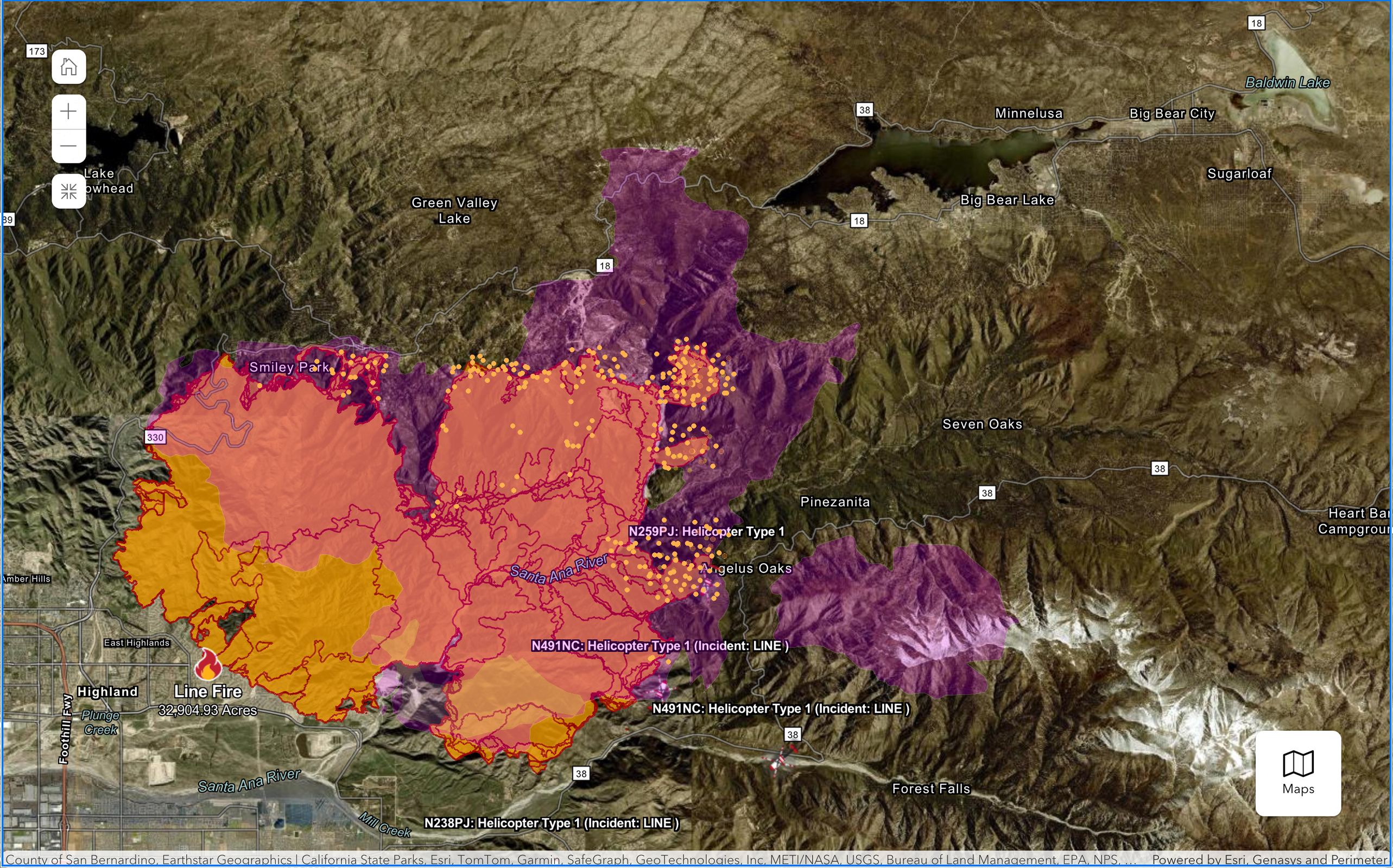

Another update from just before 8PM PST (latest data as of 10PM PST). Not much good news here, but I hope the information has spurred the firefighters to respond. Map 1: Historic data overlay in purple from 1970 fire Map 2: Just the NOAA and Cal Fire maps meshed together