this post was submitted on 29 Apr 2024
255 points (97.8% liked)
Science Memes
11846 readers
2187 users here now
Welcome to c/science_memes @ Mander.xyz!
A place for majestic STEMLORD peacocking, as well as memes about the realities of working in a lab.

Rules
- Don't throw mud. Behave like an intellectual and remember the human.
- Keep it rooted (on topic).
- No spam.
- Infographics welcome, get schooled.
This is a science community. We use the Dawkins definition of meme.
Research Committee
Other Mander Communities
Science and Research
Biology and Life Sciences
- [email protected]
- [email protected]
- [email protected]
- [email protected]
- [email protected]
- [email protected]
- [email protected]
- [email protected]
- [email protected]
- [email protected]
- [email protected]
- [email protected]
- [email protected]
- [email protected]
- [email protected]
- [email protected]
- [email protected]
- [email protected]
- [email protected]
- [email protected]
- [email protected]
- [email protected]
- [email protected]
- [email protected]
- !reptiles and [email protected]
Physical Sciences
- [email protected]
- [email protected]
- [email protected]
- [email protected]
- [email protected]
- [email protected]
- [email protected]
- [email protected]
- [email protected]
Humanities and Social Sciences
Practical and Applied Sciences
- !exercise-and [email protected]
- [email protected]
- !self [email protected]
- [email protected]
- [email protected]
- [email protected]
Memes
Miscellaneous
founded 2 years ago
MODERATORS
you are viewing a single comment's thread
view the rest of the comments
view the rest of the comments

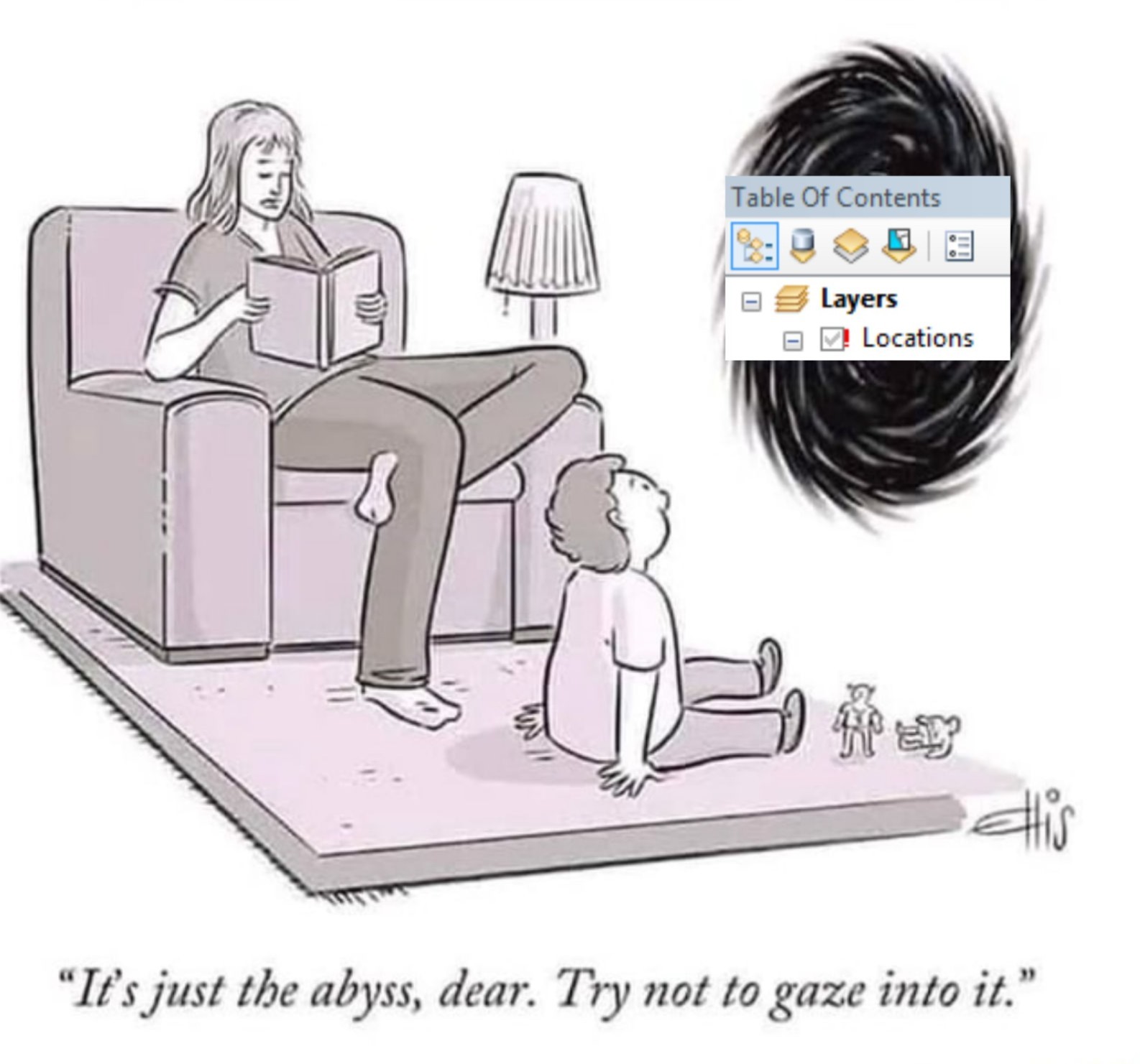
That’s ArcGIS Desktop. Recently deprecated software (depending on who you ask) that is incredibly powerful, but equally infuriating and awful. Has been supplanted by ArcGIS Pro, which is also powerful and slightly less infuriating and awful, but still very much so.
Thank you for reminding to me to practice gratitude today- deep and abiding gratitude that I no longer have to use any ArcGIS products to make my living.
Don't forget Windows exclusive, pain in the ass. I have to VNC into my laptop.
It's the entire reason I stopped having even a dual boot of Linux on my machine.
Yep, and only costs the paltry sum of $50,000+/yr. for unlimited credits and Plus Pro Max features! Honestly, a steal!
^…fuck ESRI…
The way they handle ArcOnline and licensing (esp. roles) is god damn fucking bullshit and I wish a plague upon the person who thought it up.
What advantages does it have over R's mapping / GIS suite?