hiking

772 readers
1 users here now

For Backpackers,Trekkers and Hiking Tips, trip reports and gears

founded 4 years ago
MODERATORS
1


I'm looking for a wiki to use and contribute to that provides information similar to what AllTrails provides, and functions similarly to Wikipedia. I would like for the wiki's data to be free and open, and for it to operate under a reasonably permissive license.


Cross-posted to: https://sh.itjust.works/post/23459714

2
27
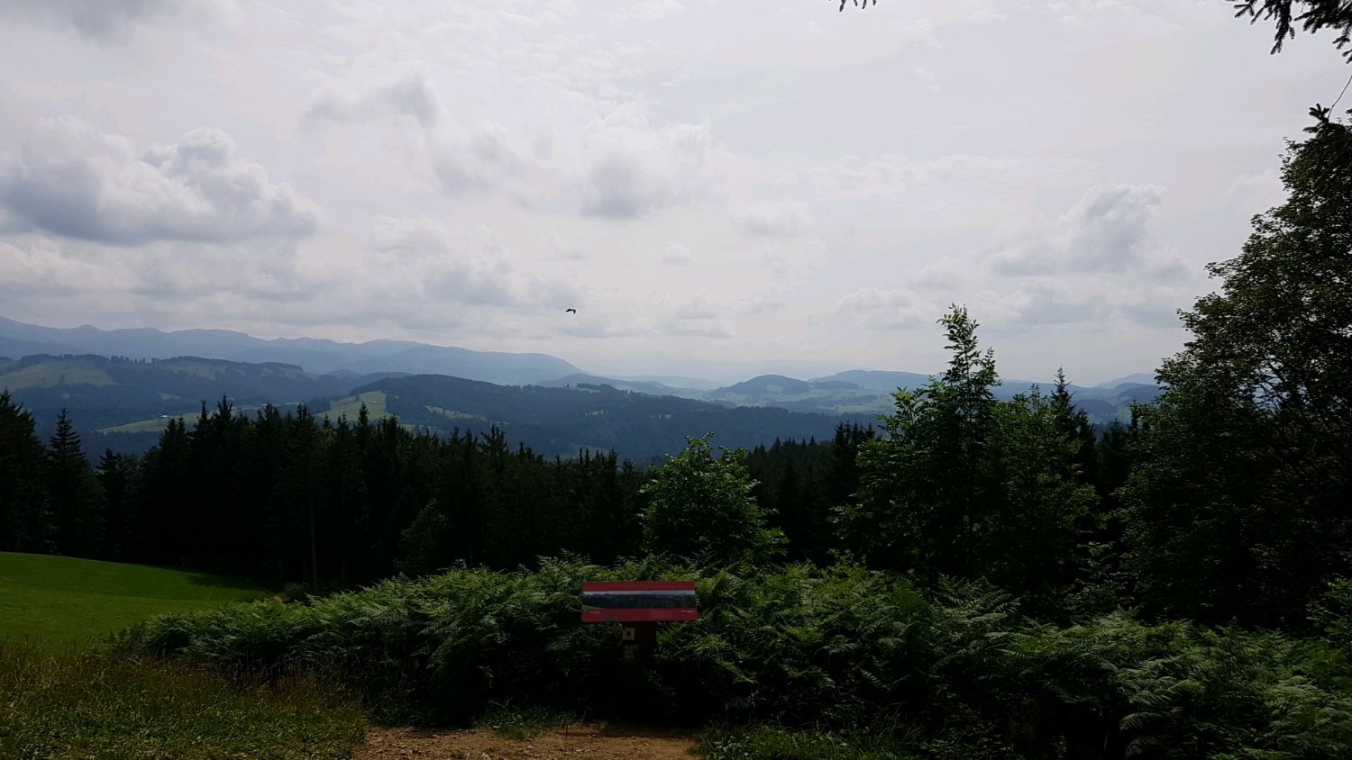
Eistobel, Germany (lemmy.world)
submitted 3 months ago by De4th69 to c/[email protected]


Currently on rehab to get sober after 24 years. Views like this definitely helps a lot

3


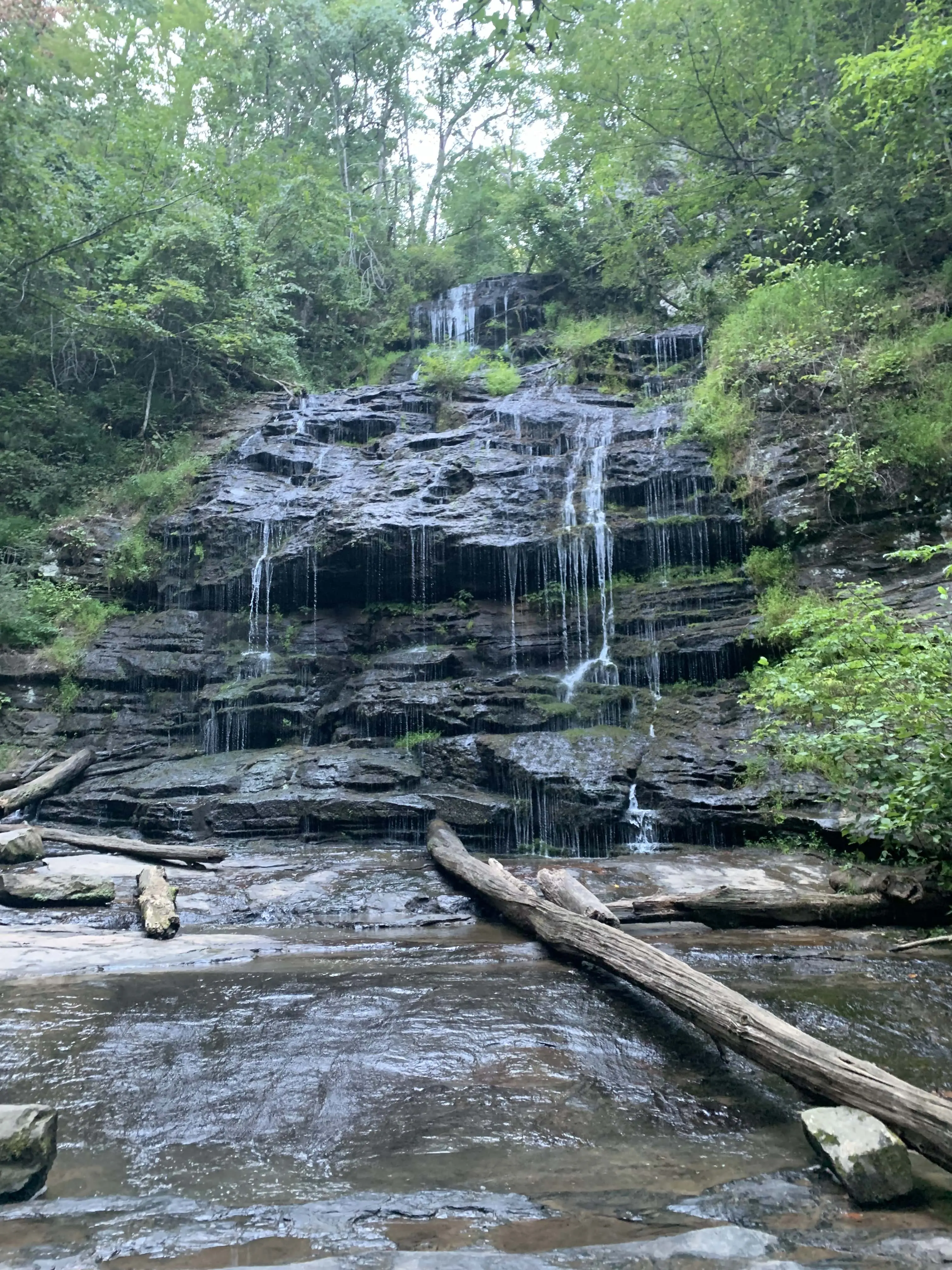
Day-hiking to the LeConte Lodge was more than refreshing and in beautiful November weather.

4
 
 
5


There's nothing to see here through winter, spring, summer, autumn, rain or shine. Go somewhere else. ⭐️⭐️⭐️⭐️⭐️

6
 
 
7


I can take a hike for 4 or maybe 5 days this summer in the Japanese Alps. The Northern Alps around tsurugidake seem like the place to be. But I was also considering central Alps for a shorter hike and then divert to Mt. Fuji which I've never seen before.

Thoughts? Experiences? Ideas?

8


This was a category two hike 3 miles up a mountain. Largest hike I have ever undertaken. But was amazing view and worth the hell we went through to reach the top.

9
10
submitted 1 year ago* (last edited 1 year ago) by [email protected] to c/[email protected]


Fantastic hike with incredible views

10


cross-posted from: https://beehaw.org/post/748817

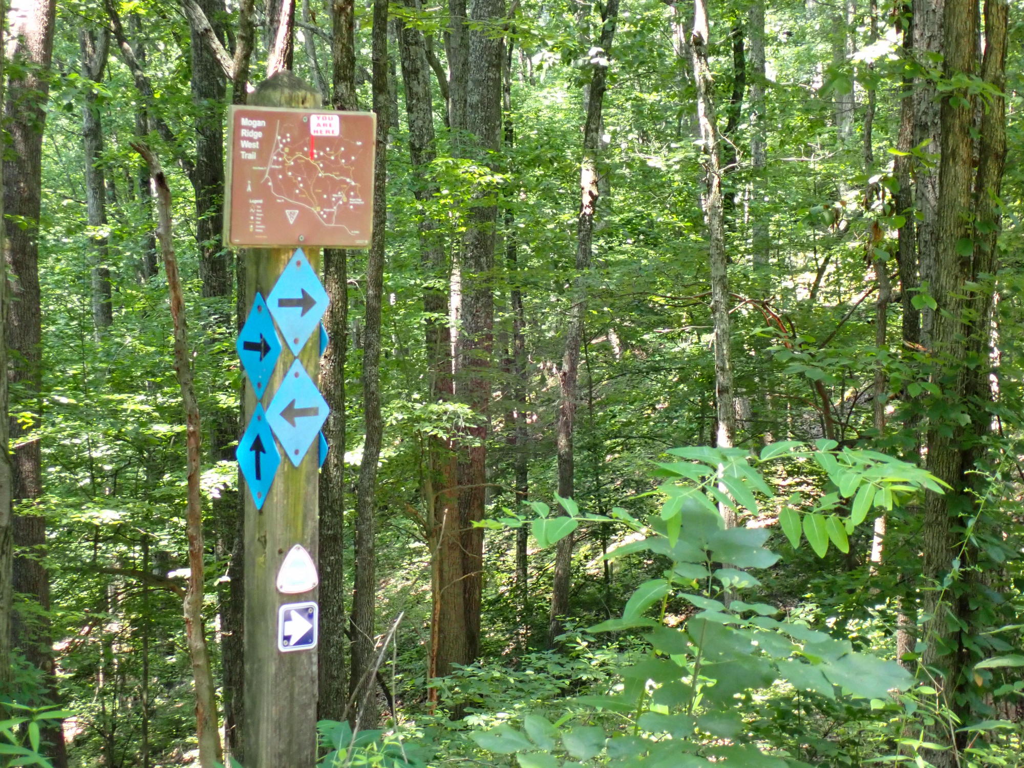
I spent most of the morning at Mogan Ridge West, putting in about 12 miles in all. Basically, I hiked the outer loop, though I did bushwhack about a mile and a half for variety.

We're definitely into summer hiking weather here, with high humidity, spider webs, gnats, and ticks. This trail also hasn't seen much use lately, so it's overgrown in grass in many areas. About half of it is gravel road, so you can combine unpleasant walking surface with increased ticks and chiggers.

Still, it was a pleasant walk in the woods and decent exercise. I met one other hiker about halfway and we swapped notes on which local trails were worth revisiting. Fortunately we were hiking in opposite directions so we didn't have to have the awkward conversation about whether to hike together.

More pictures on imgur.

[Image description: trail marker post with area map and arrows pointing in many different directions]

11


I've always used traditional hiking boots but I have sweaty feet, messed up toenails, and arthritis from gout. Stiff hiking boots were aggravating all of these issues so I recently switched to trail running shoes. I had avoided low cut shoes/boots because I hate getting rocks and debris in my shoes and needing to stop to take my footwear off to clean them out only for it to happen again 20 minutes later. I found an awesome set of gaiters at REI that keep debris from getting into my shoes and now I can hike in shorts which is way better than long pants. The traction and comfort of the Speedcross 6 shoes is incredible and I don't think I'll ever go back to bulky hiking boots. They're running shoes but they seem to work just as well for hiking and I've been on two hikes in Alaska without much pain in my feet. They ventilate well so my feet aren't soaked with sweat and I don't get blisters. Highly recommend trying a pair. I'm not sure if they will last very long but I'm happy to keep spending the money if they keep my feet in good shape.

12


cross-posted from: https://beehaw.org/post/675946

I spent the day yesterday wandering around some trails in the Shawnee National Forest (southern Illinois) from the Golden Circle trailhead to Pounds Hollow and back. I didn't keep super good track of my route, but it was something like (trail numbers): 1440 to 154 to 001 to 155 to 001 to 137A to 165 to 166 to 164 to 001 to 180 to 185 to 184 to 183 to 006, bushwhack to 134 to 006A to 006B to 109, roadwalk Karbers Ridge to 001 to 010A. Whew! The River to River Trail Society has some excellent brochures with georeferenced PDFs that cover trails in this area.

The weather was a bit sticky, but not too bad - high temps in the lower 80s. Between some recent rain and increased horse traffic for the summer, low spots in the trails are getting pretty torn up in places, particularly as you get closer to the various horse camps. Poison ivy is out in force, ticks are too so take reasonable precautions.

The area is a mix of pleasant forests, clifftop vistas, and streambeds (almost all dry at the moment). Pounds Hollow Lake is one of the ones in the area created by the CCC building a dam in the 1930s and has a reasonably popular swimming beach, as well as rest rooms and potable water.

I had planned to camp at Pounds Hollow, but I stupidly forgot to pack cash to pay for the $10 fee, so what was planned as a 20 mile day turned into a 29 miler when I took the most direct route back to the trailhead where I started. There are a couple of other good spots along that route back, but all the water sources were dry or stagnant, and I didn't have enough water along for dinner & breakfast so I said the heck with it and came home. All told, 29.2 miles in just a shade over 12 hours. The last 4 or so were pretty tough, but I made it.

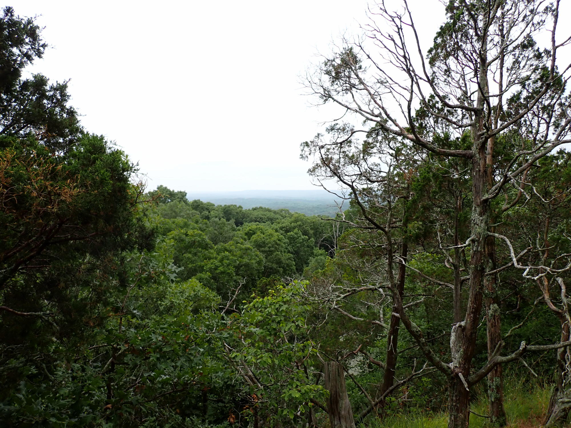
[Image description: southern Illinois forested hills receding into the distance, framed by trees and viewed from the top of Buzzard Roost]

More pictures at imgur.

13
10
submitted 1 year ago* (last edited 1 year ago) by [email protected] to c/[email protected]


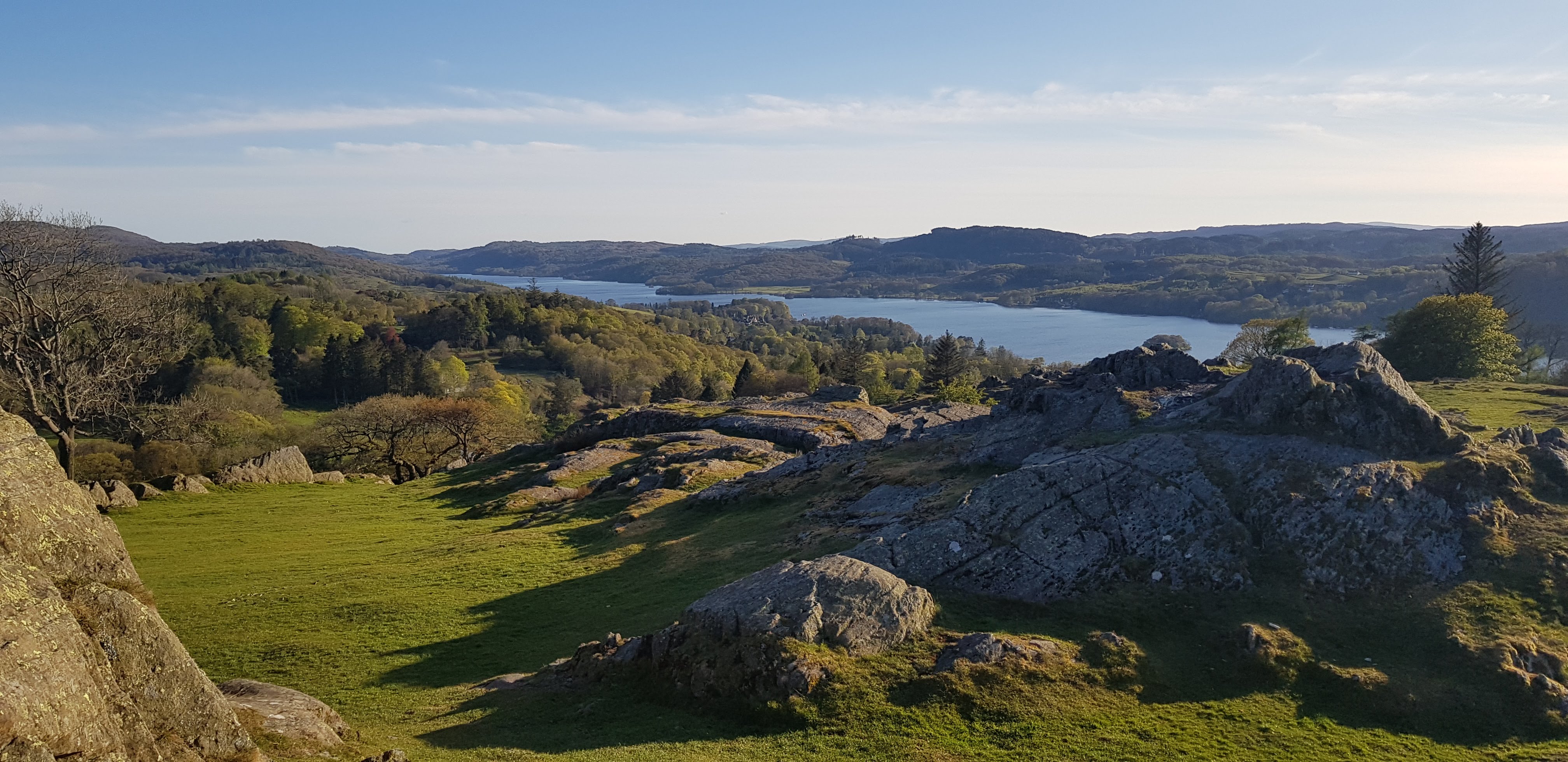
Great wide views of the lake from atop the hill and lots of easy walking with the odd fence hop

14


I have a ~22 inch torso. I bought the osprey poco plus child carrier which says it supports 22 inch torsos. I went a couple three hour hikes this weekend and my shoulders were done at the end of each. this isn't normal, right? I am thinking of trying another carrier, but i am worried there are no child carriers for tall people.

15


Went her as a side trip on the Rees Dart track from Queenstown. It was a pretty grueling ascent from the hut, climbing almost 1000 metres on scree and rocks. The 18 km round trip took us quite a while!

This hike (5 days total) was absolutely stunning.

16


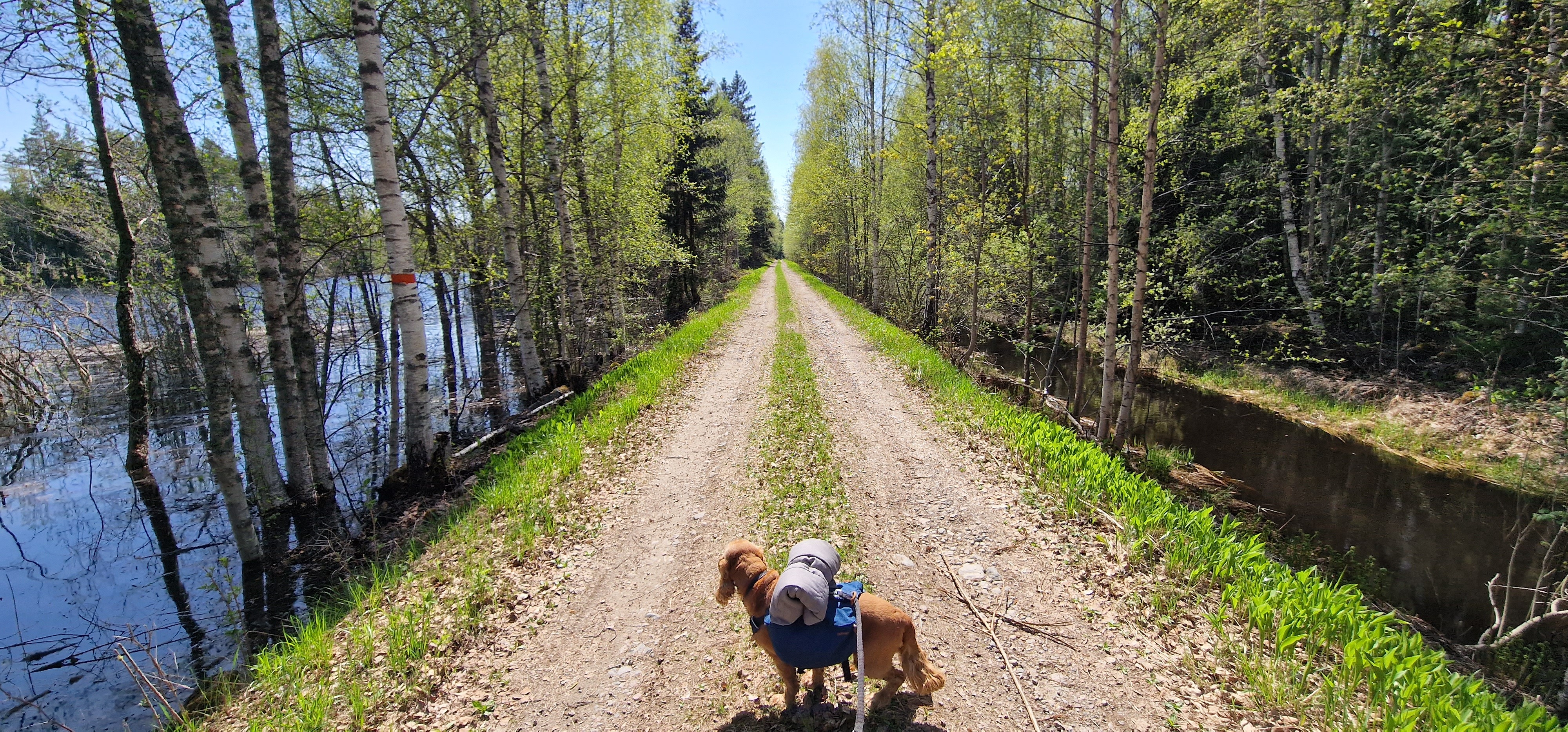
Would love to see people sharing one or a few pictures from their most recent hike.

I'll start with: My best hiking pal, my doggo, gazing along the trail (local trail in Sweden).

17


Did a couple of days of hiking with my buddy last month. As a flatlander, I was so grateful for the chance to spend some time in the Rockies.

18
 
 
19
7
submitted 1 year ago* (last edited 1 year ago) by [email protected] to c/[email protected]


Long hike in canton Soluthurn in Switzerland. Quick stop for breakfast.

20


Little hike mid March 2023

21


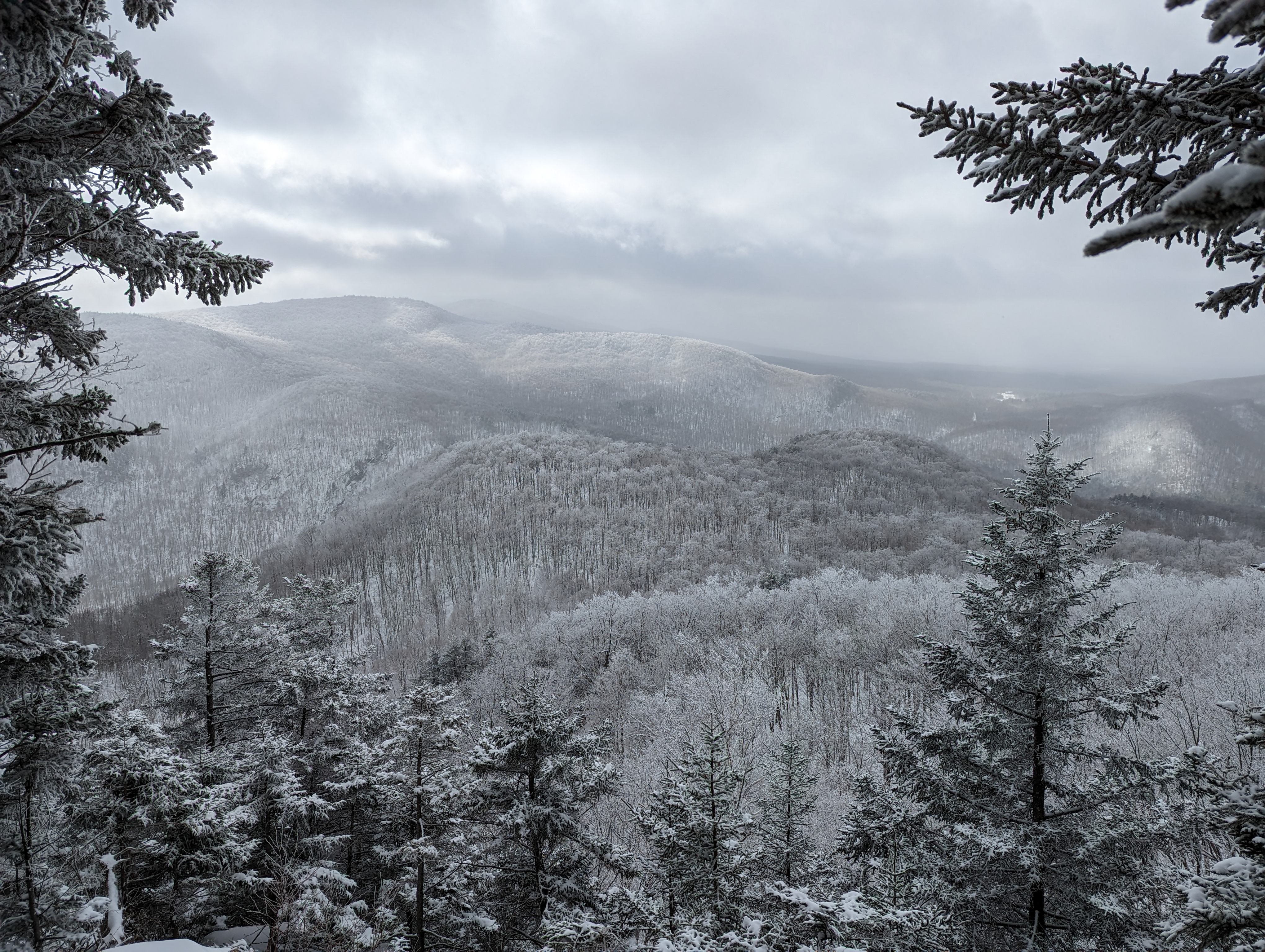
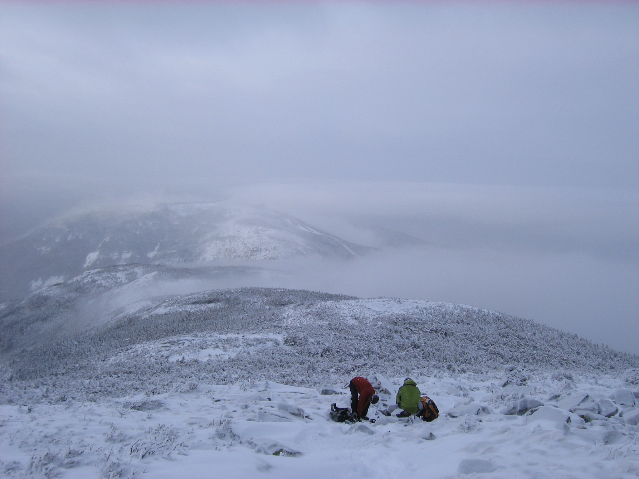
Winter hiking on Mt. Lafayette, New Hampshire, USA.

22
23


Beautiful day!

24


A hike I made a few weeks back. I went up to the mountain with a very small cable car, then I hiked further up through the forest towards the highest (green) area. On the way back I had a snack in the mountain restaurant. The best thing was to relax at the small mountain lake before heading back. The location is called Seelisberg and is close to Lake Lucerne in Switzerland.

Lake Lucerne

Little lake

25
2
submitted 1 year ago* (last edited 1 year ago) by [email protected] to c/[email protected]


So this is probably my insecurities showing but I have an invisible disability that affects my walking and stamina. Also my body doesn't regulate my temperature very well. I tell you all this bc when I go even on a small trail, I have a sun hat and a hydration backpack and hiking poles. If you were to see someone on the trail like that, would you think they are a try hard? Or not think about me at all? It won't stop me but I do wonder sometimes.

edit: Thanks y'all I'm feeling better. Sometimes I'm in my own head too much for sure

view more: next ›