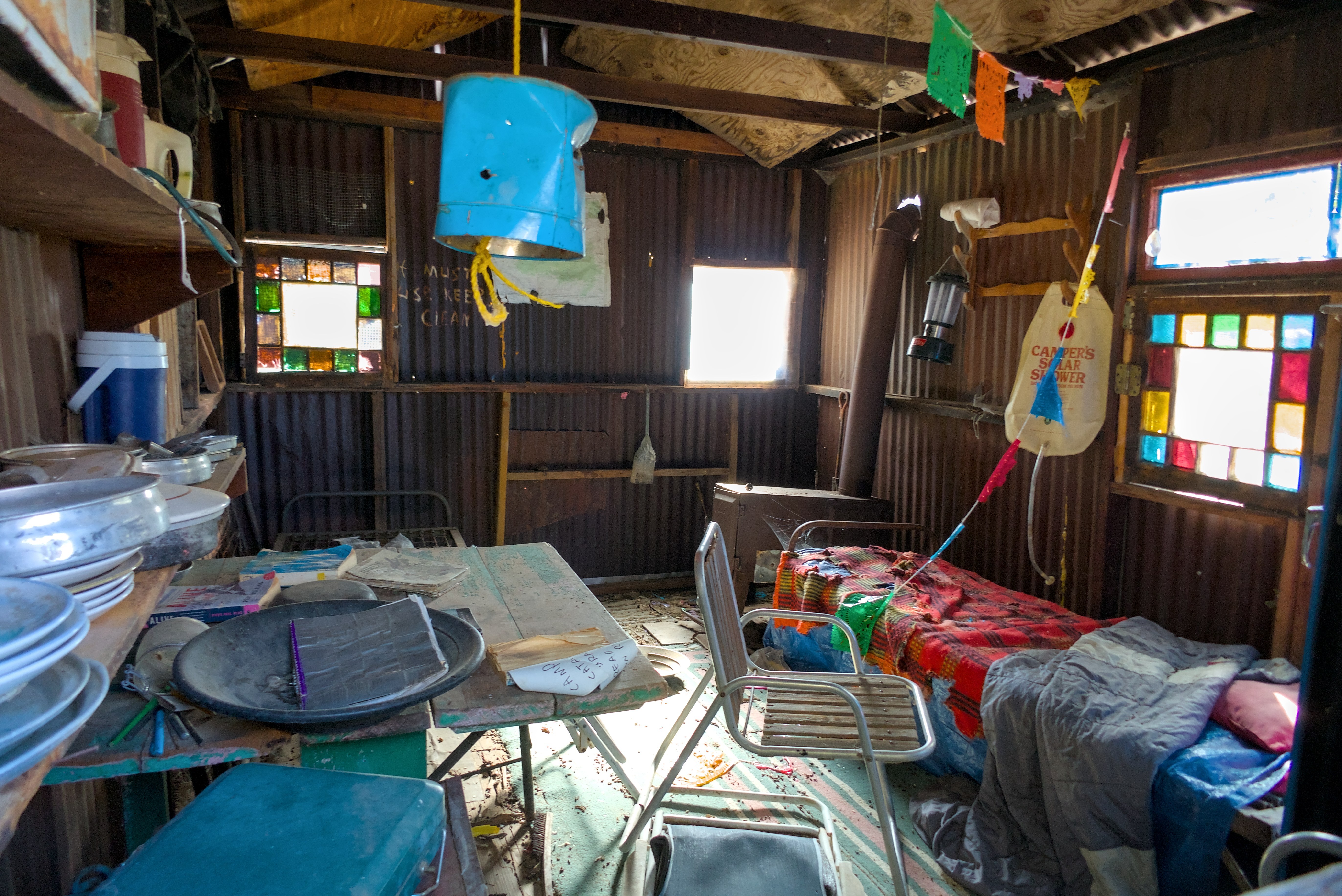
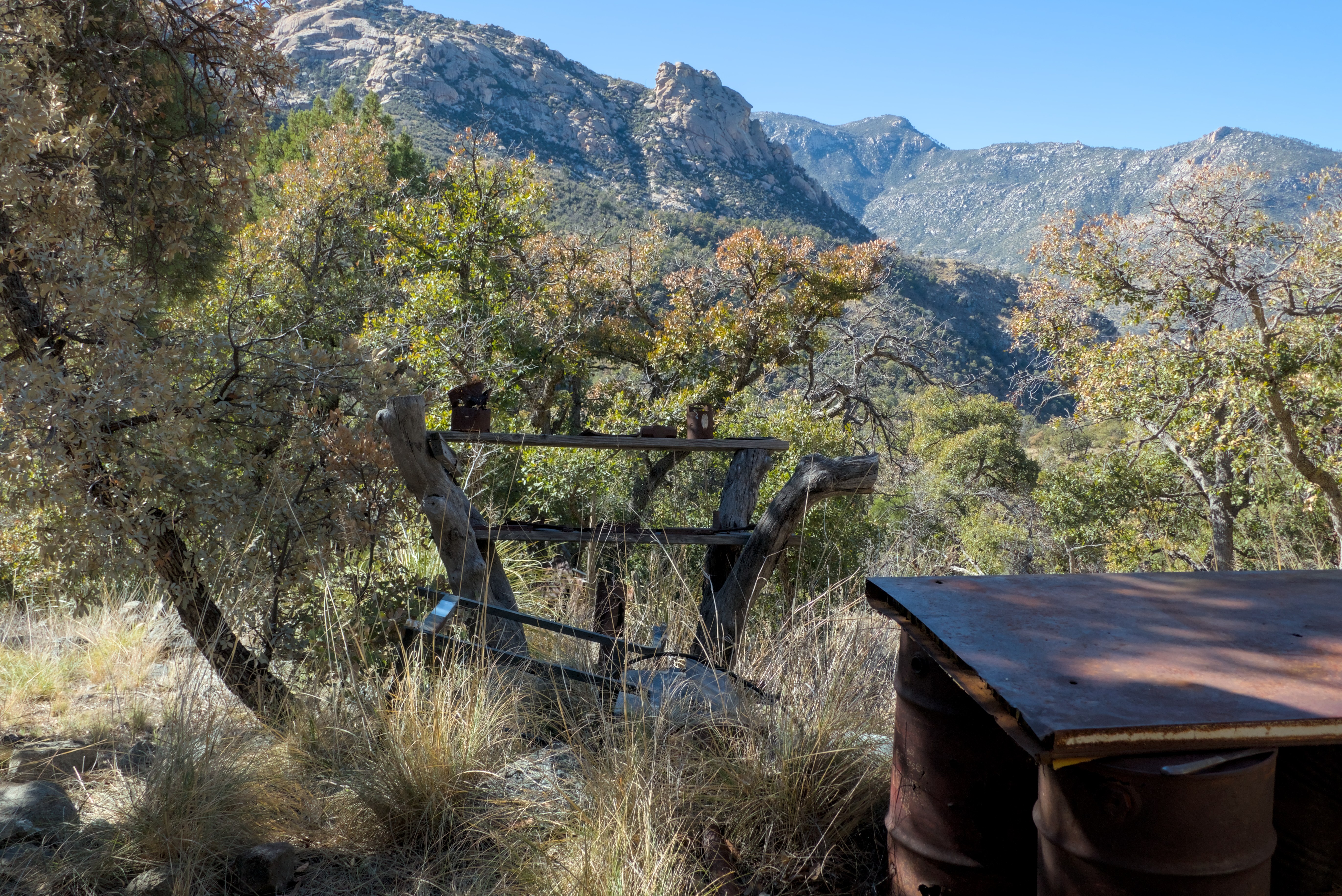
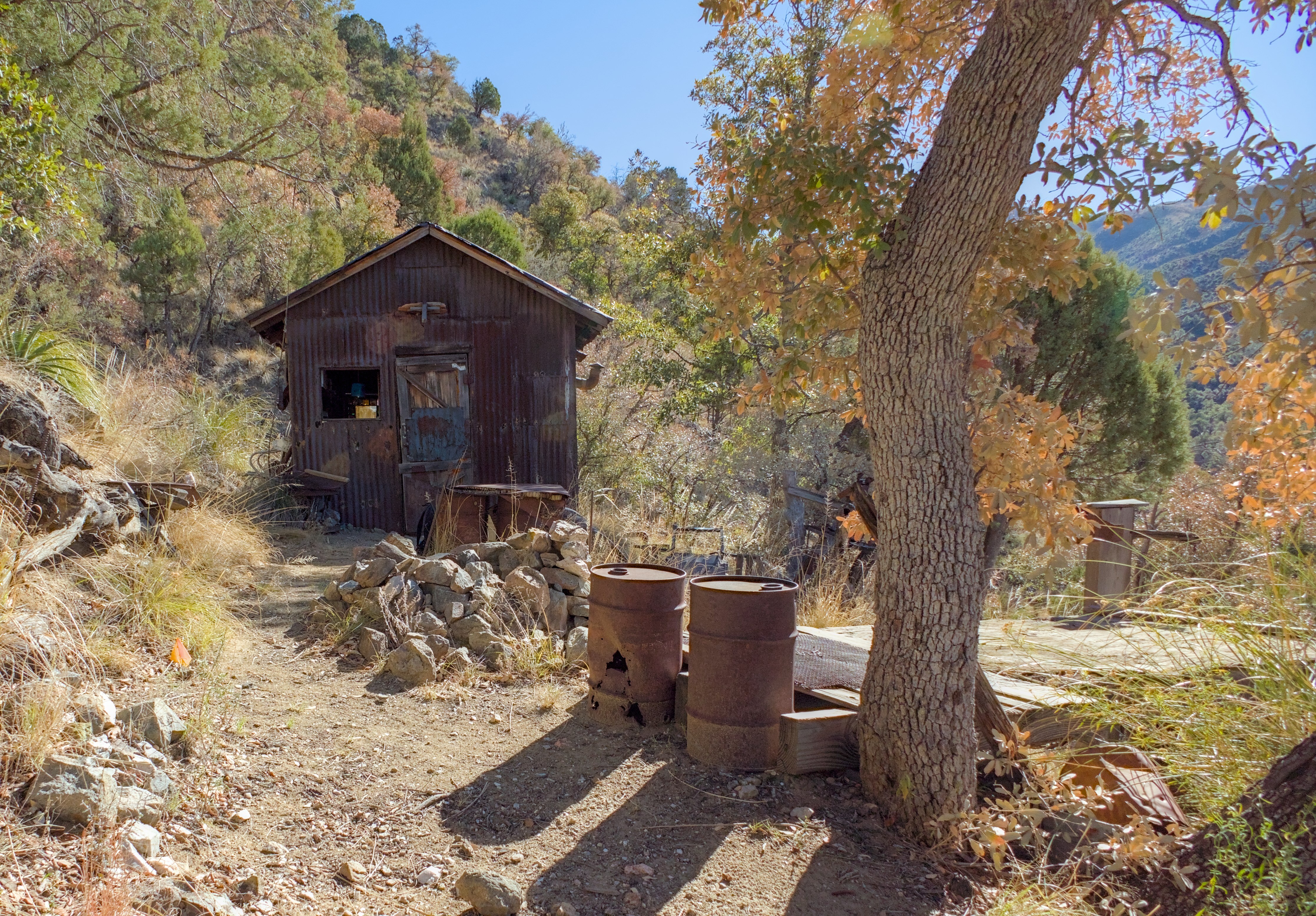
Hey OP, do you have any details on this, as in, is there a backstory? Is this just open to any camper that wants to use it? Is it just abandoned and you set up camp?
pics
Rules:
1.. Please mark original photos with [OC] in the title if you're the photographer
2..Pictures containing a politician from any country or planet are prohibited, this is a community voted on rule.
3.. Image must be a photograph, no AI or digital art.
4.. No NSFW/Cosplay/Spam/Trolling images.
5.. Be civil. No racism or bigotry.
Photo of the Week Rule(s):
1.. On Fridays, the most upvoted original, marked [OC], photo posted between Friday and Thursday will be the next week's banner and featured photo.
2.. The weekly photos will be saved for an end of the year run off.
Instance-wide rules always apply. https://mastodon.world/about
There is some info here about the hike: https://hikearizona.com/decoder.php?ZTN=1411 I also hiked from the oracle ridge trail. It is on national forest land and open to the public as far I know. The writing on the wall in the back says "if must use keep clean"
That writing on the wall is actually the reason I asked. Thank you for the follow-up; that link makes it sound like a very nice hike!
Out back by peppersauce?
Yes, but I recommend going from the top down. The trail starts near the end of the oracle control road.
That’s awesome! Is that on the island? If so, where?
Thank! It's on the North side of the Santa Catalina Mountains in Tucson AZ. Also known as Mt Lemmon.
Ah, very cool! I thought you were talking about Santa Catalina Island off CA’s coast, sorry bout that!
I was going to tell you to watch out for bison. Not sure if that’s applicable for AZ though…


