Selfhosted
A place to share alternatives to popular online services that can be self-hosted without giving up privacy or locking you into a service you don't control.
Rules:
-
Be civil: we're here to support and learn from one another. Insults won't be tolerated. Flame wars are frowned upon.
-
No spam posting.
-
Posts have to be centered around self-hosting. There are other communities for discussing hardware or home computing. If it's not obvious why your post topic revolves around selfhosting, please include details to make it clear.
-
Don't duplicate the full text of your blog or github here. Just post the link for folks to click.
-
Submission headline should match the article title (don’t cherry-pick information from the title to fit your agenda).
-
No trolling.
Resources:
- selfh.st Newsletter and index of selfhosted software and apps
- awesome-selfhosted software
- awesome-sysadmin resources
- Self-Hosted Podcast from Jupiter Broadcasting
Any issues on the community? Report it using the report flag.
Questions? DM the mods!
view the rest of the comments

These may be answered elsewhere, but like some other interested people in this post, I fully intend on trying to load a copy of this when I get home from vacation.
What methods/devices do you use to upload/sync the data? Other than a regular smart phone, were you able to use other GPS enabled devices like garmin or apple smart watches?
And system requirements?
You can use whatever device you prefer. In the end, you simply need a GPX file that you upload through the web UI or the API. I am planning to support other formats like KML soon, though.
System requirements should be quite low. On the first startup you will need ~1GB of RAM. After that, the whole stack sits at around 100MB on my machine.
Oh KML support!
Looking forward to that!.
;)
I'll use it for running though. Hmm. I'm using KML on my running sections. Is it possible to get some stats and graph for pinpointing and an average?
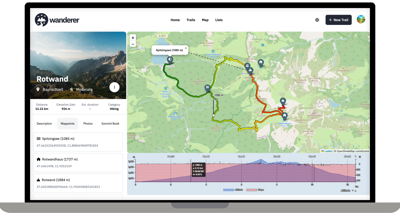
Currently wanderer supports visualising duration, distance, elevation gain and speed. Support for heart rate is planned. It can display a graph (the one you see in the screenshot) and also calculates an average.
This was very helpful, you are an amazing human.
That's great. Thank you very much for your work.
I use a banglejs 2 as a smart phone is way to bulky to carry while running. The bangle 2 is a JavaScript based watch with a GPS receiver.