this post was submitted on 28 Jan 2024
353 points (98.6% liked)
Map Enthusiasts
3528 readers
206 users here now
For the map enthused!
Rules:
-
post relevant content: interesting, informative, and/or pretty maps
-
be nice
founded 2 years ago
MODERATORS
you are viewing a single comment's thread
view the rest of the comments
view the rest of the comments

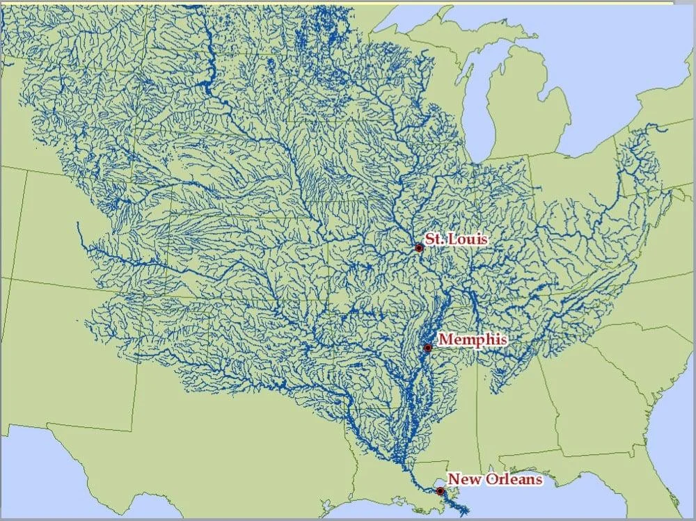
Indeed, a lot of grain from the breadbasket of the US flows on the barges floating down the Mississippi. Much of our food system depends on that river.
The Missouri River on the other hand does not. Despite being long, it does not see much traffic due to dams and locks in Nebraska and upstream from there. Channelsizing the Missouri has proven to be difficult to maintain too. It is said that the only reason that the Missouri River is channelized is to allow Army Corp of Engineer barges up and down the river to fight the river against the channelization. A Sisyphian task.
Also it's cheaper to ship grain from the upper Missouri region to the Columbia Plateau and then down the Snake and Columbia on barges where it then gets loaded onto freighters in Portland, Vancouver and Longview and shipped to Asia and South America. By volume the Columbia is the second largest watershed in the US. Obviously all of the Columbia Plateau grain gets shipped down the Columbia as well, which is a lot, since it's a major grain producing region.
The downside is crossing the Columbia Bar which is also known as the graveyard of the Pacific, but there are highly paid Columbia River pilots for that.