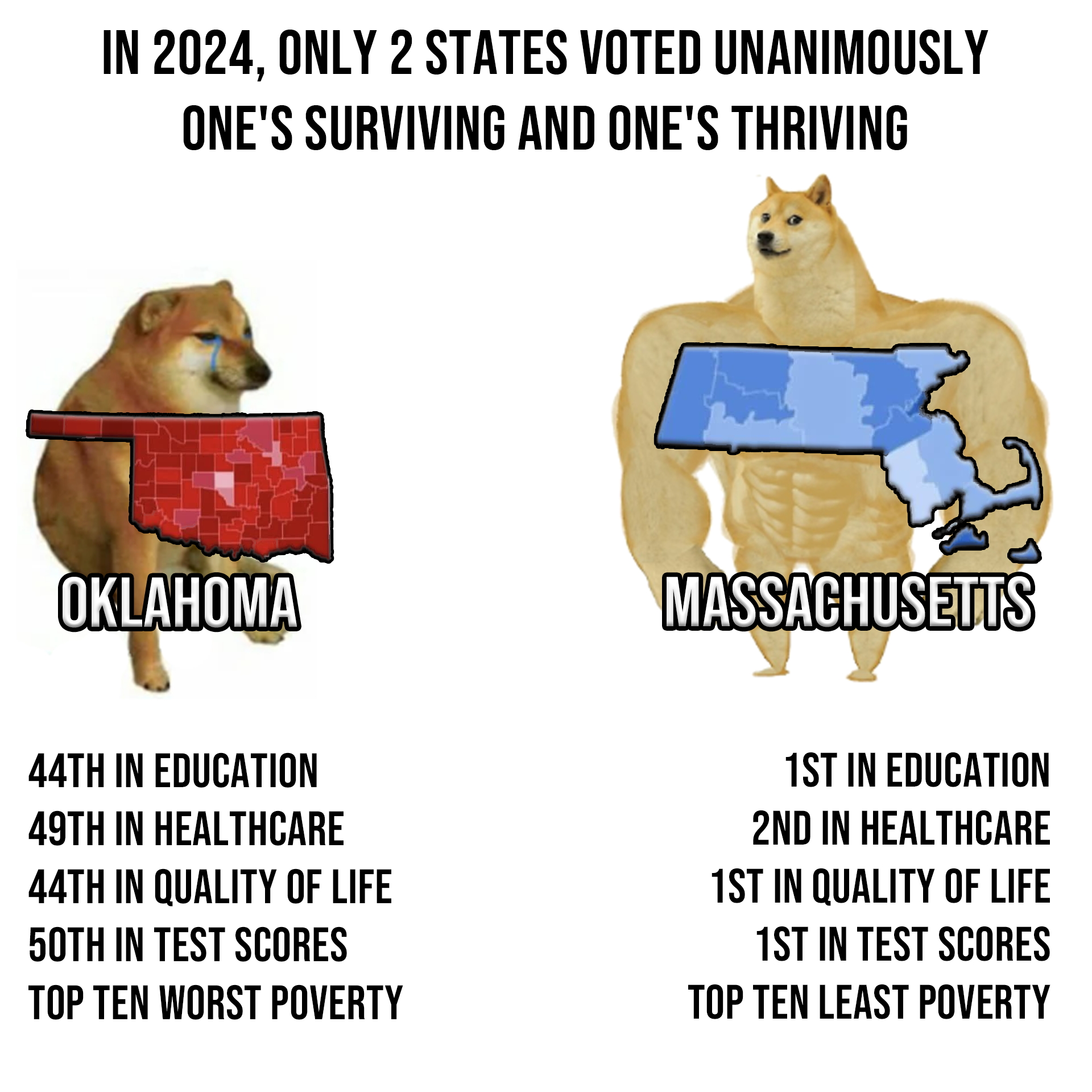
this post was submitted on 16 Nov 2024
1347 points (97.7% liked)
Political Memes
5718 readers
2043 users here now
Welcome to politcal memes!
These are our rules:
Be civil
Jokes are okay, but don’t intentionally harass or disturb any member of our community. Sexism, racism and bigotry are not allowed. Good faith argumentation only. No posts discouraging people to vote or shaming people for voting.
No misinformation
Don’t post any intentional misinformation. When asked by mods, provide sources for any claims you make.
Posts should be memes
Random pictures do not qualify as memes. Relevance to politics is required.
No bots, spam or self-promotion
Follow instance rules, ask for your bot to be allowed on this community.
founded 2 years ago
MODERATORS
you are viewing a single comment's thread
view the rest of the comments
view the rest of the comments

It was. And in fact the Supreme Court ruled in McGirt v. Oklahoma that the reservations still exist. One consequence is that Google Maps now shades the entire eastern half of the state in dark shading showing the borders between the Cherokee, Creek, Choctaw, Chickasaw, and so forth.
The tribal governments are taking an increasing role in providing public services to all of the citizens within their borders, as the civil state government descends deeper into libertarianism.