NASA's Perseverance Mars Rover

1450 readers
76 users here now

On the plains of Jezero, the secrets of Mars' past await us! Follow for the latest news, updates, pretty pics, and community discussion on NASA and the Jet Propulsion Laboratory's most ambitious mission to Mars!

founded 1 year ago
MODERATORS
51


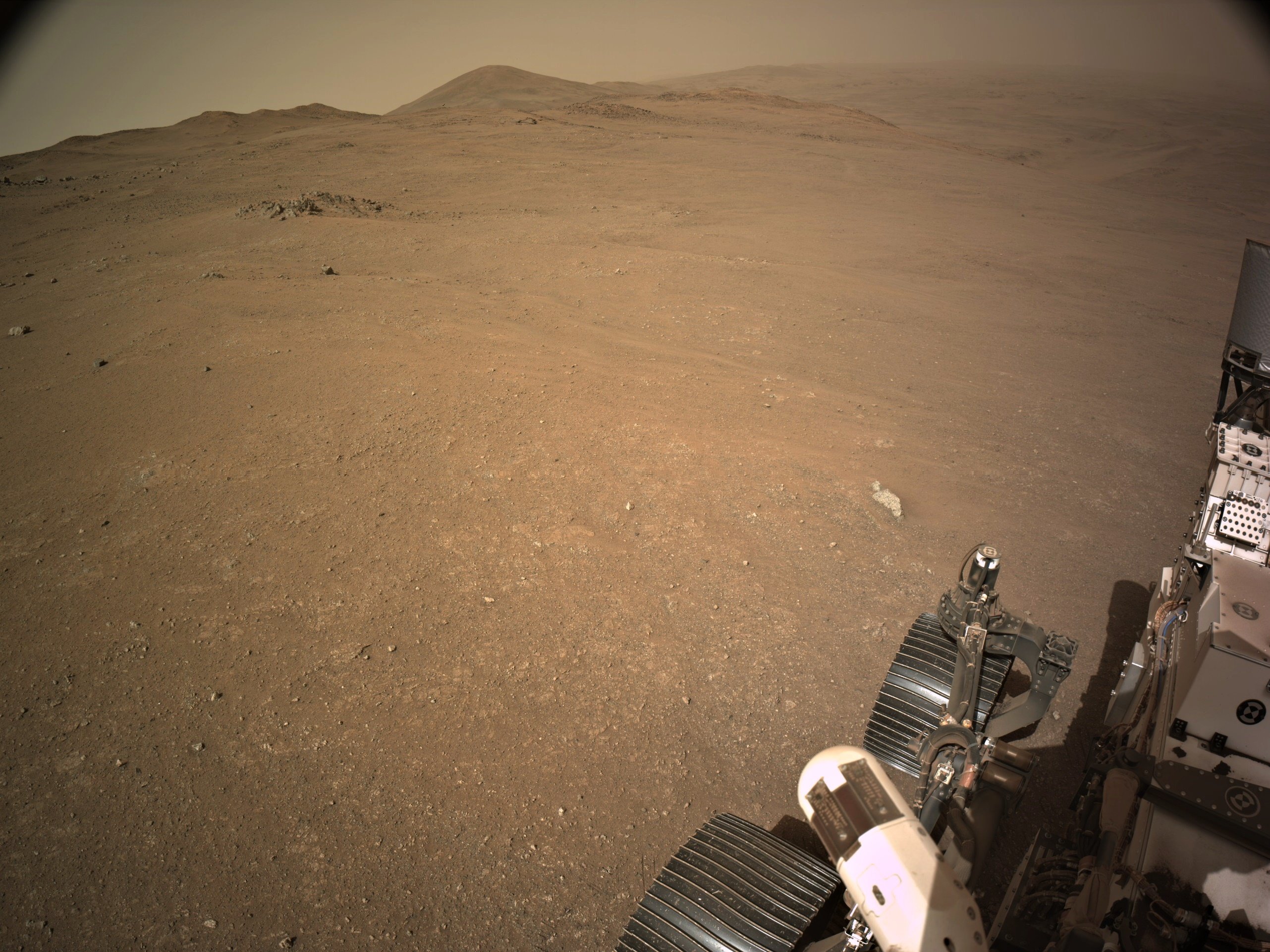
Drive Direction ~WSW 4-tile end-of-drive NavCam NASA/JPL-Caltech

52


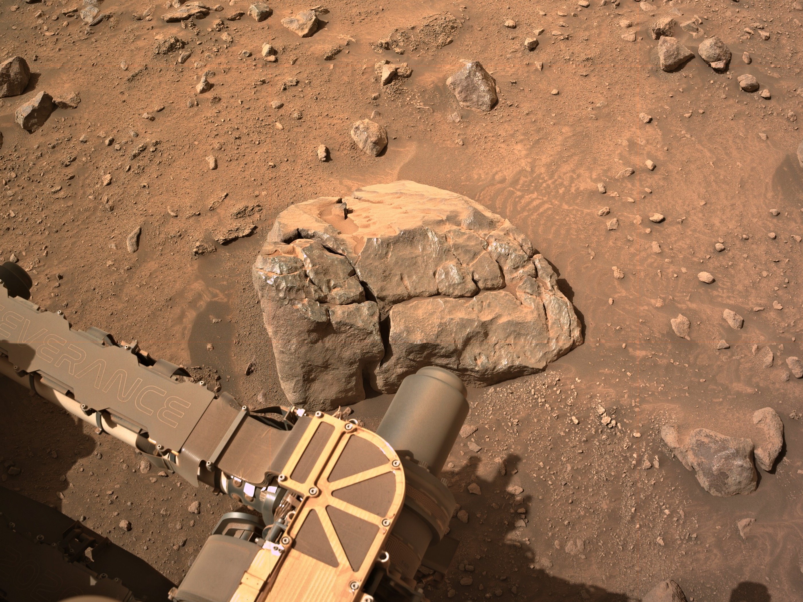
This shot was taken by the arm-mounted WATSON camera at 10:46 PM local time, illuminated by the LED (see also shots lit from the left and right, for perspective). The boulder Percy is analyzing (see here for a daylight view) isn't as reflective as some near the rover, but then again, this part of the Jezero rim seems to have more than enough funky rock coatings for anyone!

53


A failing motor on the dust cover of the SHERLOC instrument forced a decision that seemed likely to doom it to obscurity given the unlimited supply of dust on Mars. Eight months later, we have an answer.

54


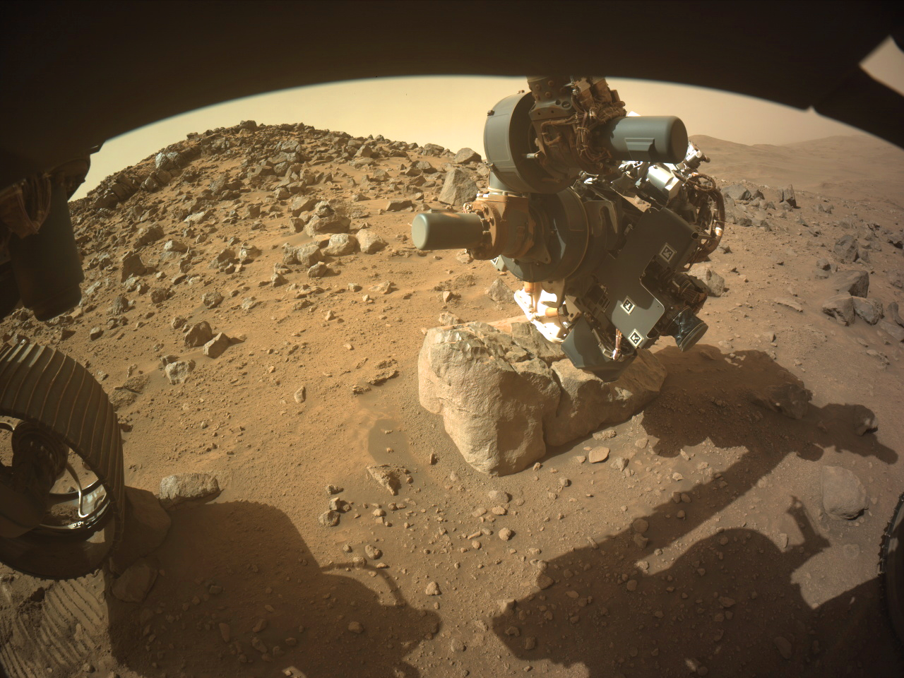
Despite one of the front wheels and the diagonally opposite rear wheel being perched on rocks they commanded the robotic arm to acquire close up images (WATSON) of the surface of this small boulder.

They were probably confident that the rover would not slip. In the past, the use of the arm to obtain close-ups using the turret mounted cameras have meant a delay as the rover was repositioned to firm ground, as s slip could damage the rover.

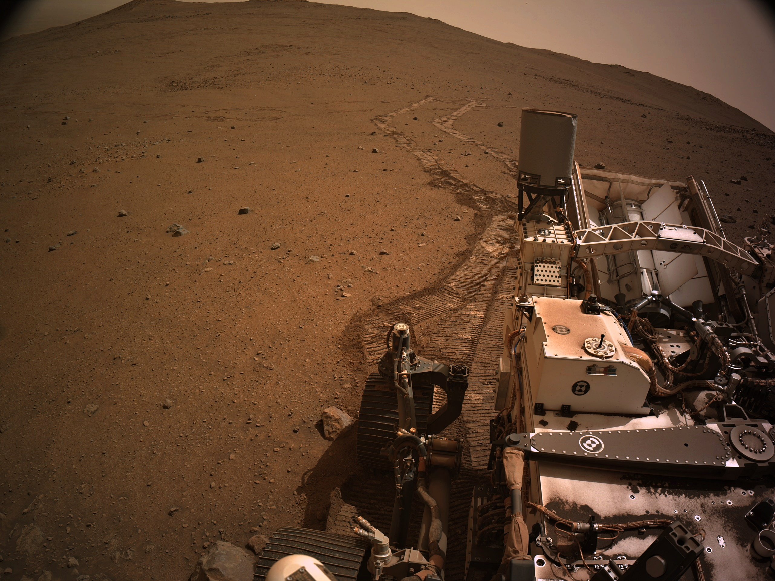
This image is from the front-left HazCam

NASA/JPL-Caltech

55


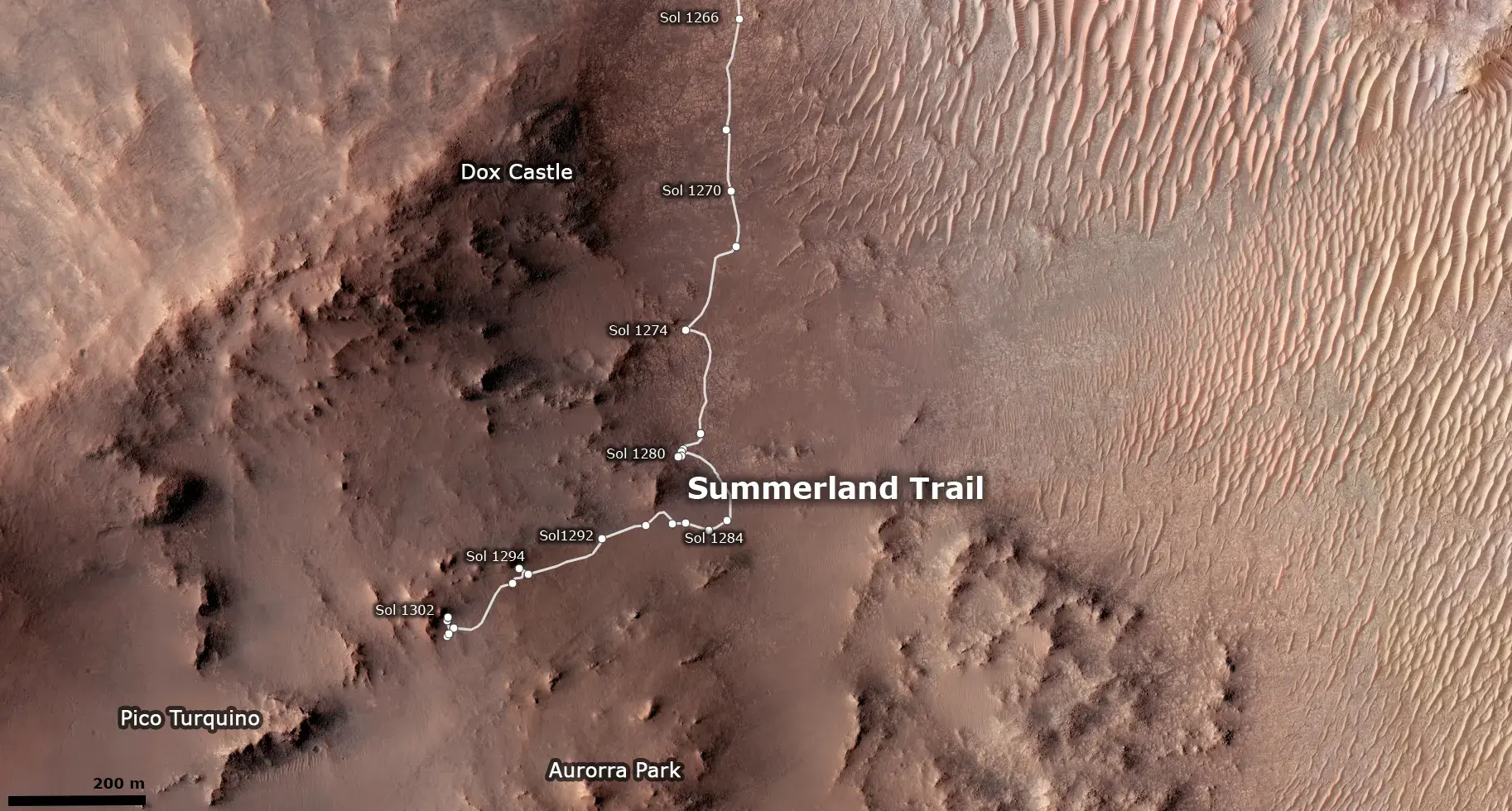
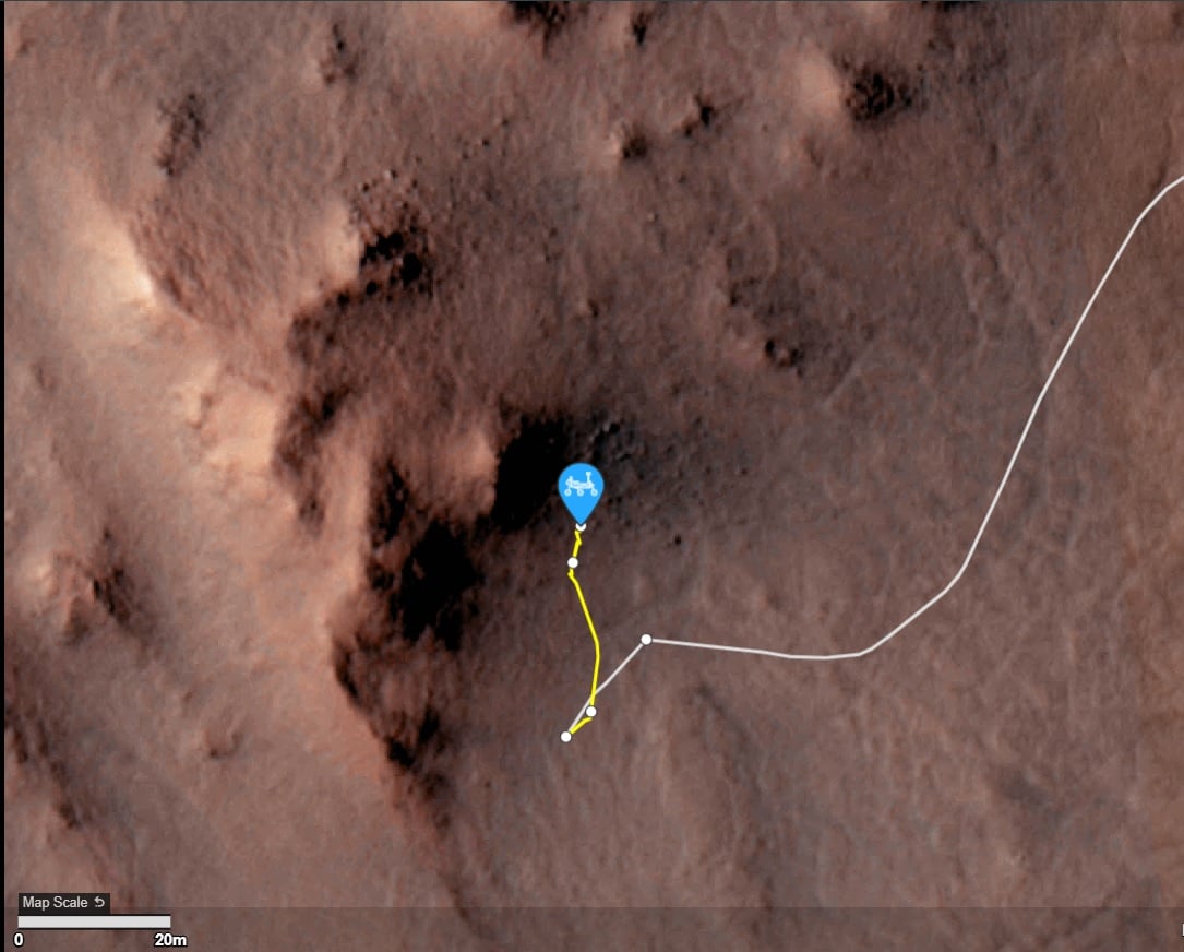
Improved mapping a bit, although I'm still just captioning the official map.

56


NASA/JPL-Caltech/James Sorenson

57


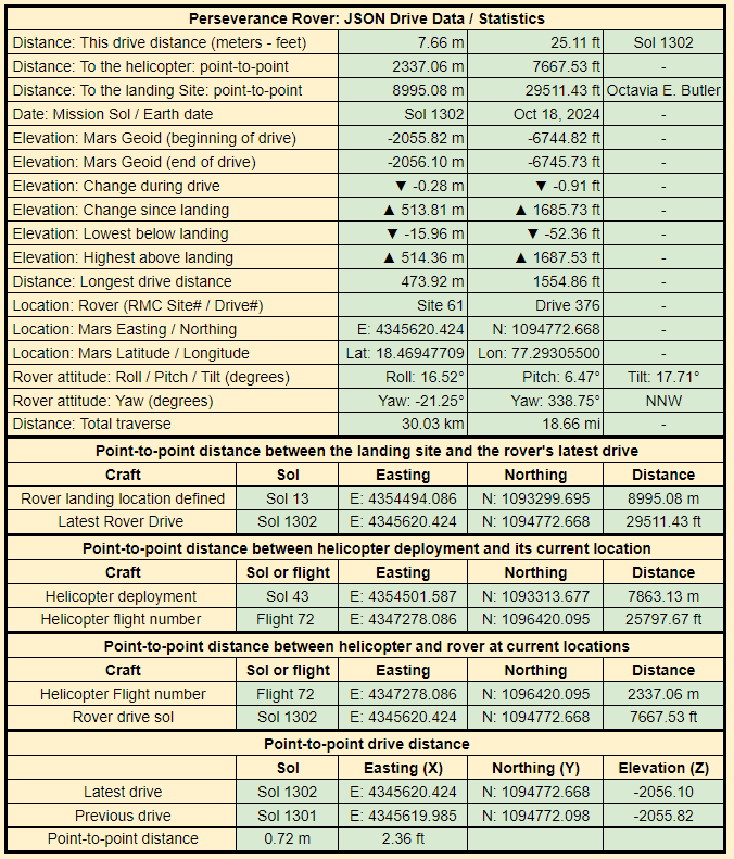
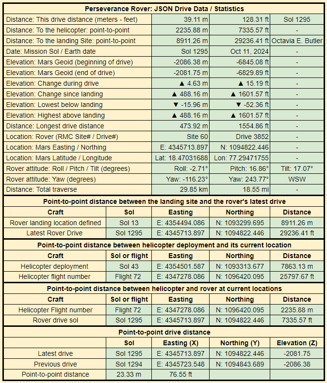
Data provided by JPL after every drive - NASA/JPL-Caltech

58


Cropped from a 9-tile post drive R-NavCam. The drive distance may have been over 7 meters, but the point-to-point distance was less than one meter. This long drive may have been a result of the rover having one of its wheels perched on a rock, leaving it unstable for un-stowing the robotic arm.

I'm assuming we'll see some closer inspection of this target over the weekend.

59


4-tile NavCam - NASA/JPL-Caltech

60
61
 
 
62


data provided by JPL (JSON feeds)

63


assembled 6 overlapping NavCam tiles to get this simple mosaic of the workspace. Assembled in PhotoScape and MS-ICE.

NASA/JPL-Caltech

64


Not sure why it was such a short drive, the workspace is just sandy regolith, and there was no wheel slip during the drive. Maybe they are deciding which path to take, the notional path to the SSW or head north to some white rocks seen upslope... Decisions decisions ;)

fixed typo in direction of notional path :)

65


Perseverance rover acquired this image using its Left Mastcam-Z camera. Mastcam-Z is a pair of cameras located high on the rover's mast.

This image was acquired on October 15, 2024 (Sol 1299) at the local mean solar time of 11:40:37.

Image Credit: NASA/JPL-Caltech/ASU

66


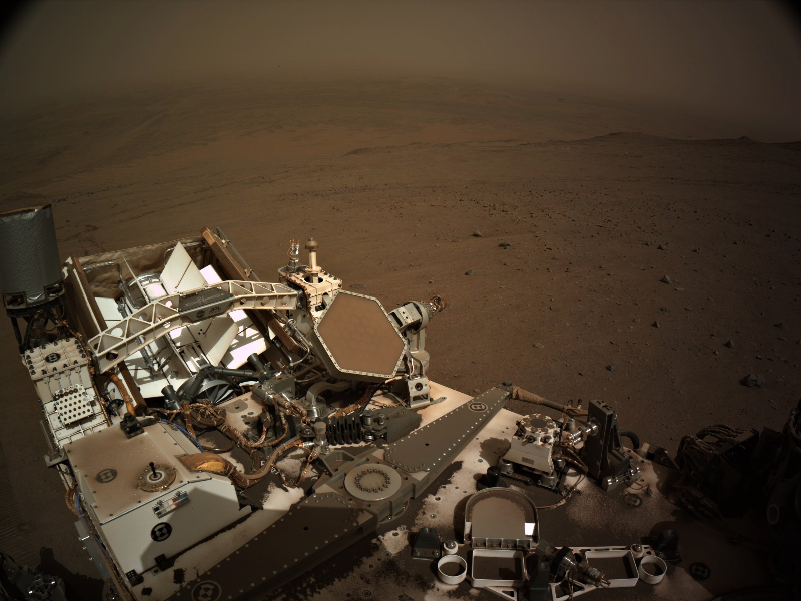
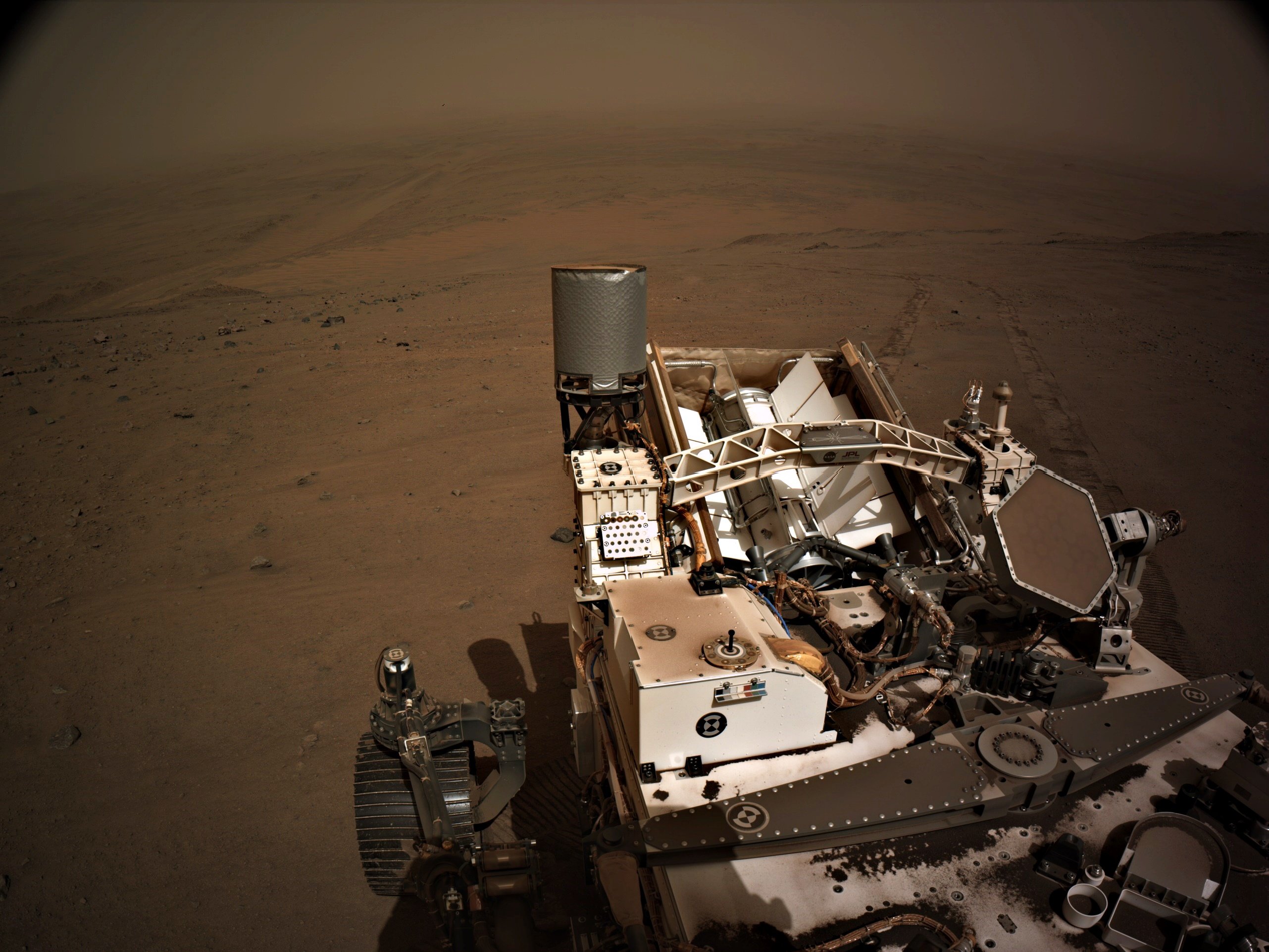
Sol 1298 tiled NavCam - Still dusty, even though the end of the Mars year is close

NASA/JPL-Caltech

67
 
 
68
 
 
69


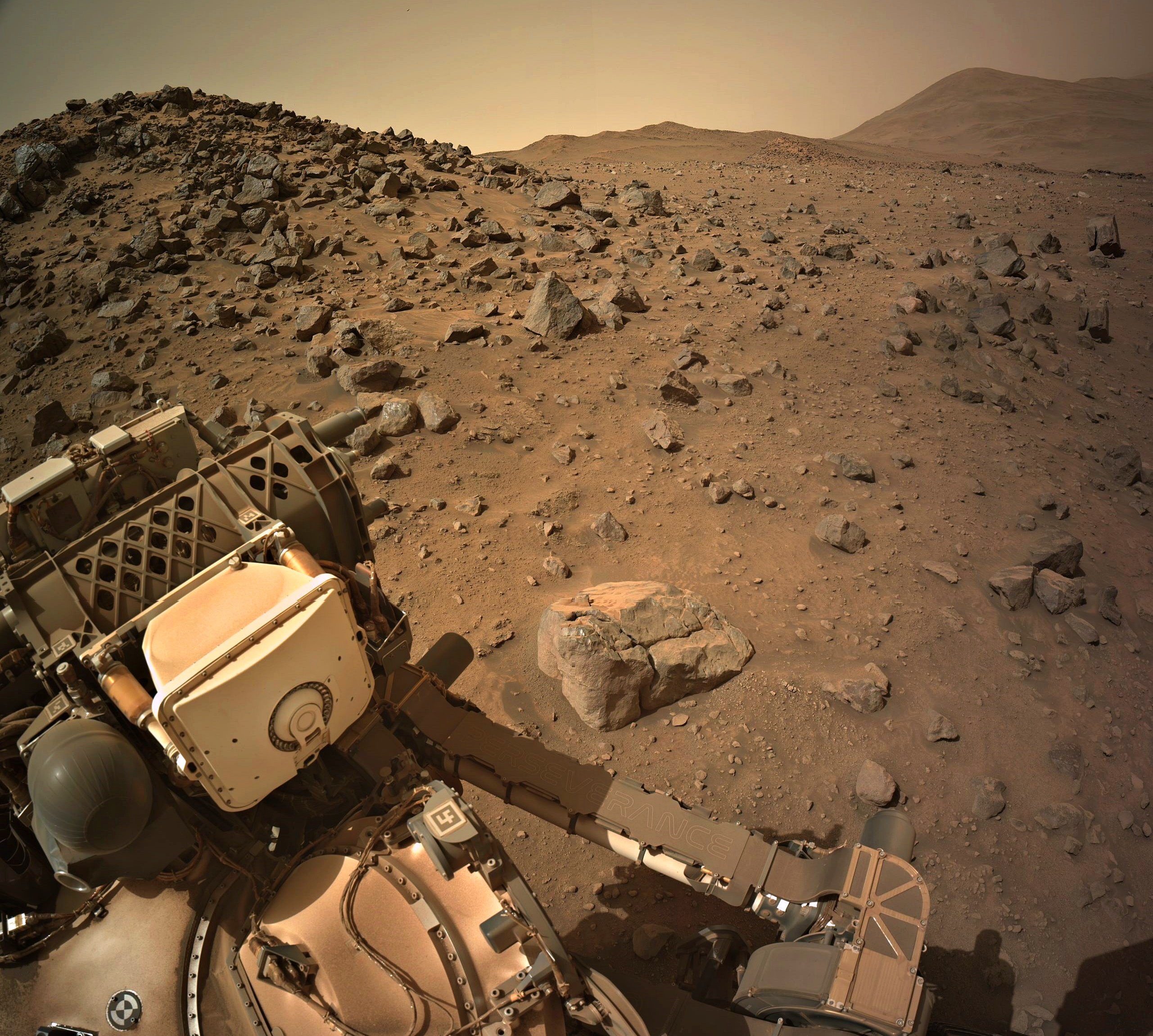
I can't find any evidence that the triangular-prismatic rock at the top centre of this image even existed before Sol 1292 (apparently visible on the left hump on the horizon in this image)... are the Martians watching us???

(To be clear, I am joking here. I just think it's really neat to see how many of these cobble and boulder-studded slopes on the Jezero rim produce these angular and seemingly resistant forms. Martian hills and mountains are pretty rounded in general - I'd hardly expect to find the Matterhorn in these ancient landscapes - but erosion has a way of surprising you in this place...

70
71


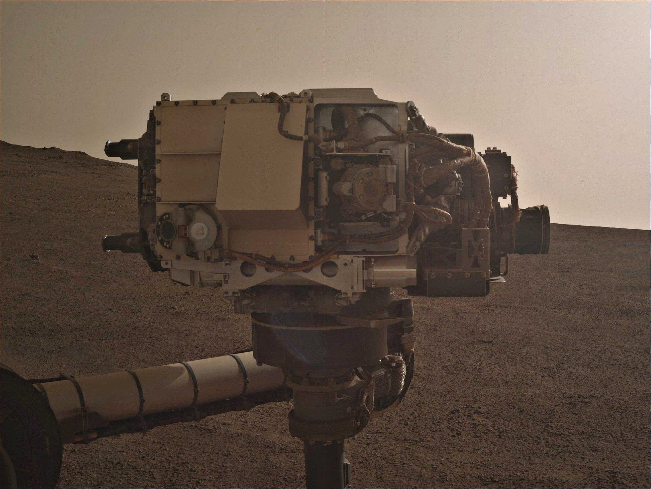
WATSON's lens and open dust cover were imaged by the NavCam's and MastCams on sol 1296. Not sure, but one option could be looking for dust on the lens. This is one of the 4-tile NavCam's that imaged the turret, the WATSON camera is on the lower left of the turret. Credits: NASA/JPL-Caltech

72
 
 
  • 4-tile L-NavCam.
  • The rear of the rover is looking East-northeast.
  • The climb during this short drive was 4.63 meters (15.19 feet)
73


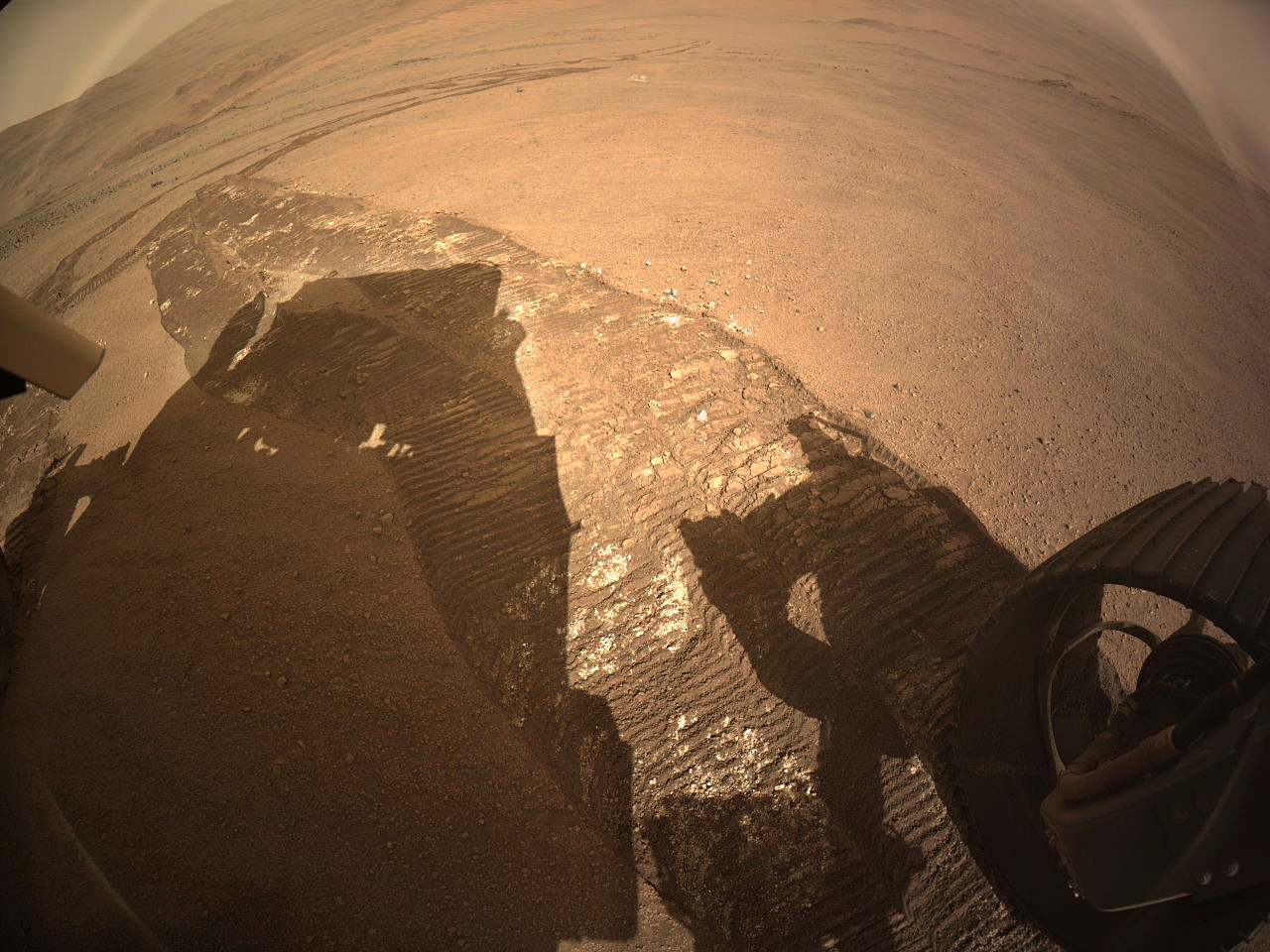
The point-to-point distance and elevation change was on par with my estimate, but the overall distance suggest the may have backed up a couple of times to get clear of the soft zone.

74


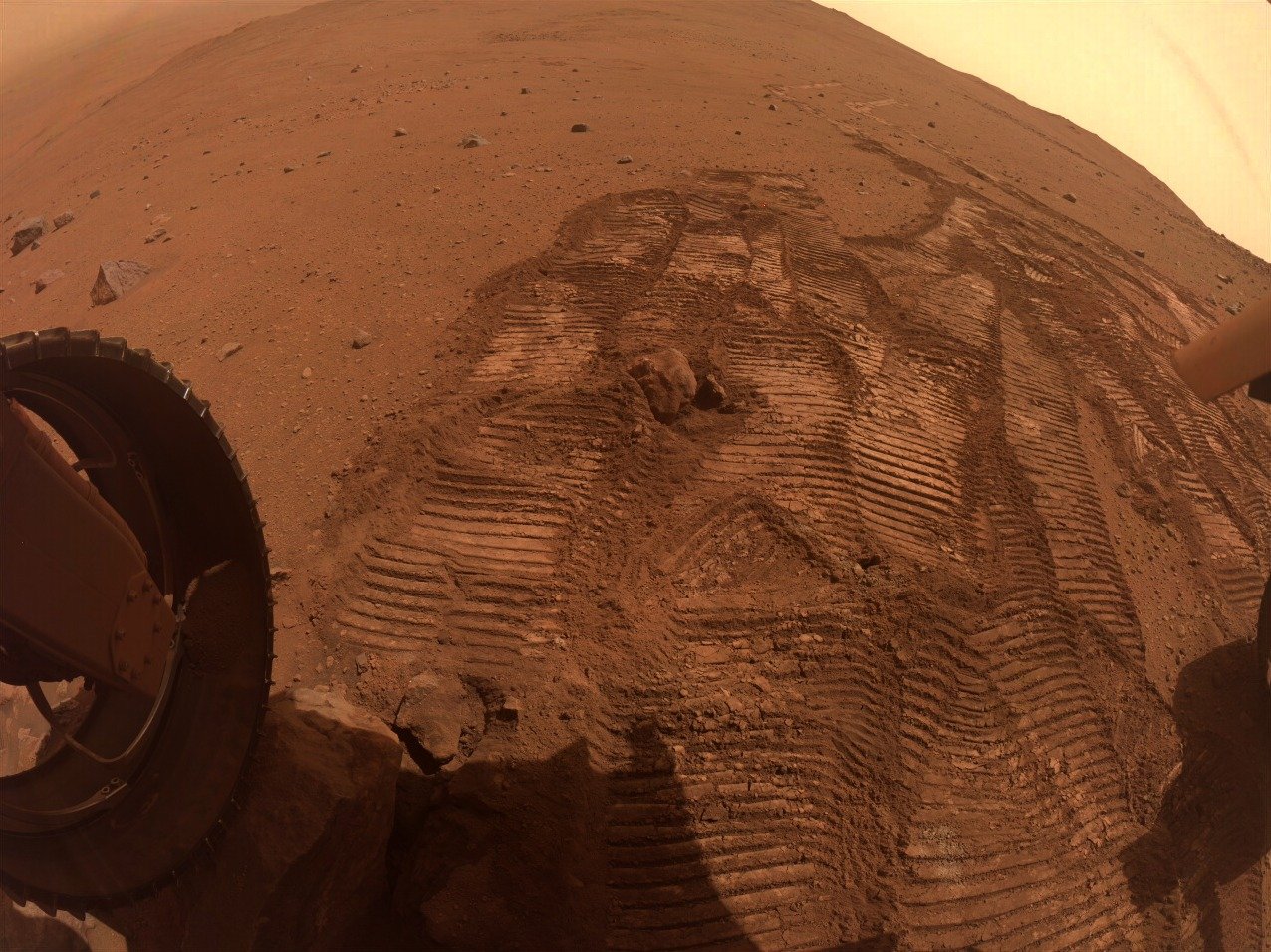
Estimated distance 25-30 meters. Estimated climb 4-5 meters. Still waiting for the official drive data and map, but it appears the rover drove Southwest, away from the rubble covered hillock. The wheel tracks are a little bunched up, but I guess that can be expected when climbing upslope across mixed regolith.

75


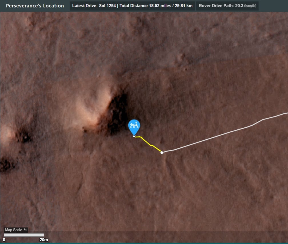
The path of the 1294 drive is highlighted in yellow

view more: ‹ prev next ›