The Mars 2020 Perseverance rover continues to live up to its name, pushing forward in search of ancient Martian secrets. Following a brief period of system verification and remote testing, our operations team is back at full strength, and Perseverance has been hard at work uncovering new geological insights.
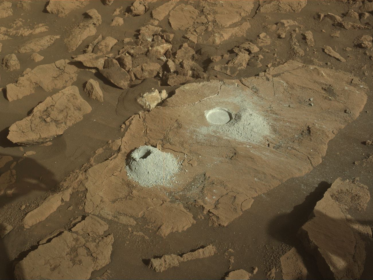
We began our latest campaign at “Mill Brook,” a site surrounded by dusty, fine-grained paver stones. Here, we conducted an abrasion experiment at “Steve’s Trail,” allowing our remote sensing instruments to capture a before-and-after analysis of the rock surface. SuperCam (SCAM) used its LIBS and VISIR systems to investigate “Bad Weather Pond,” while Mastcam-Z (ZCAM) imaged the entire workspace. These observations provide invaluable data on the composition, texture, and potential alteration of these rocks.
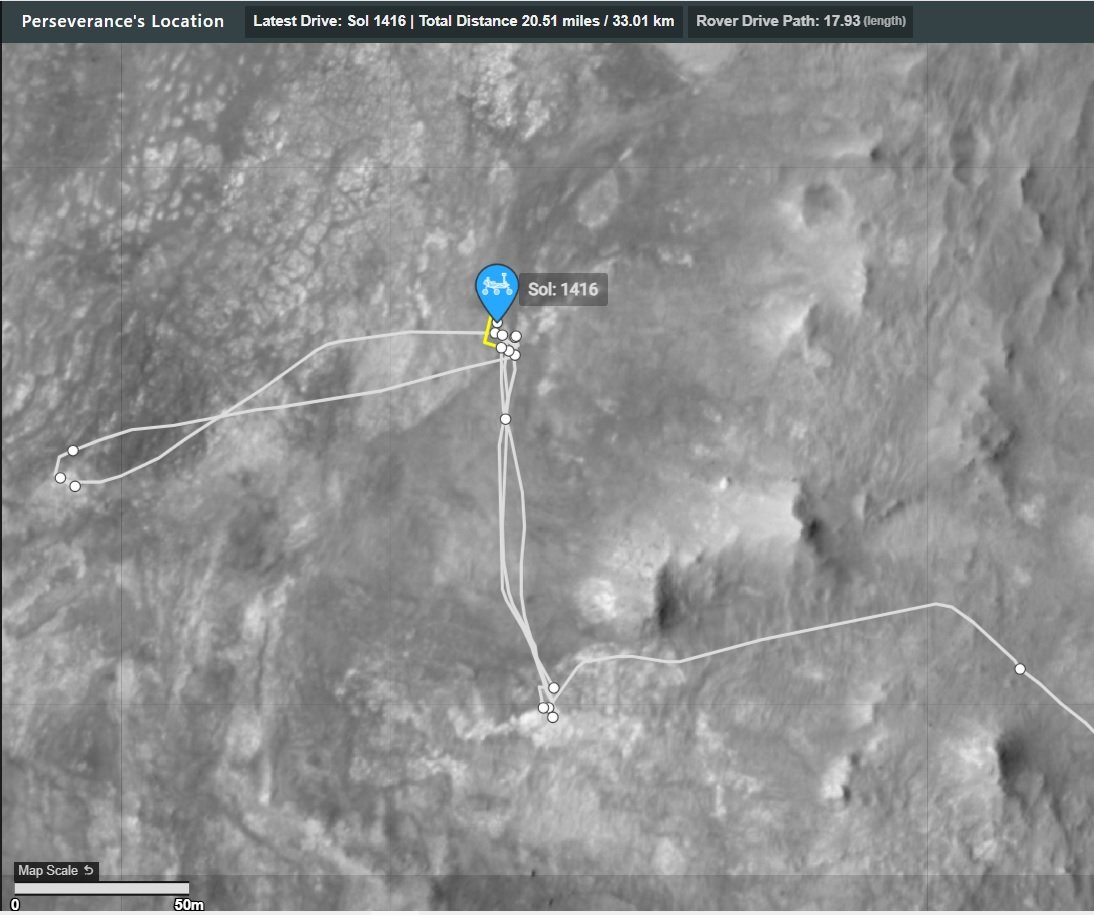
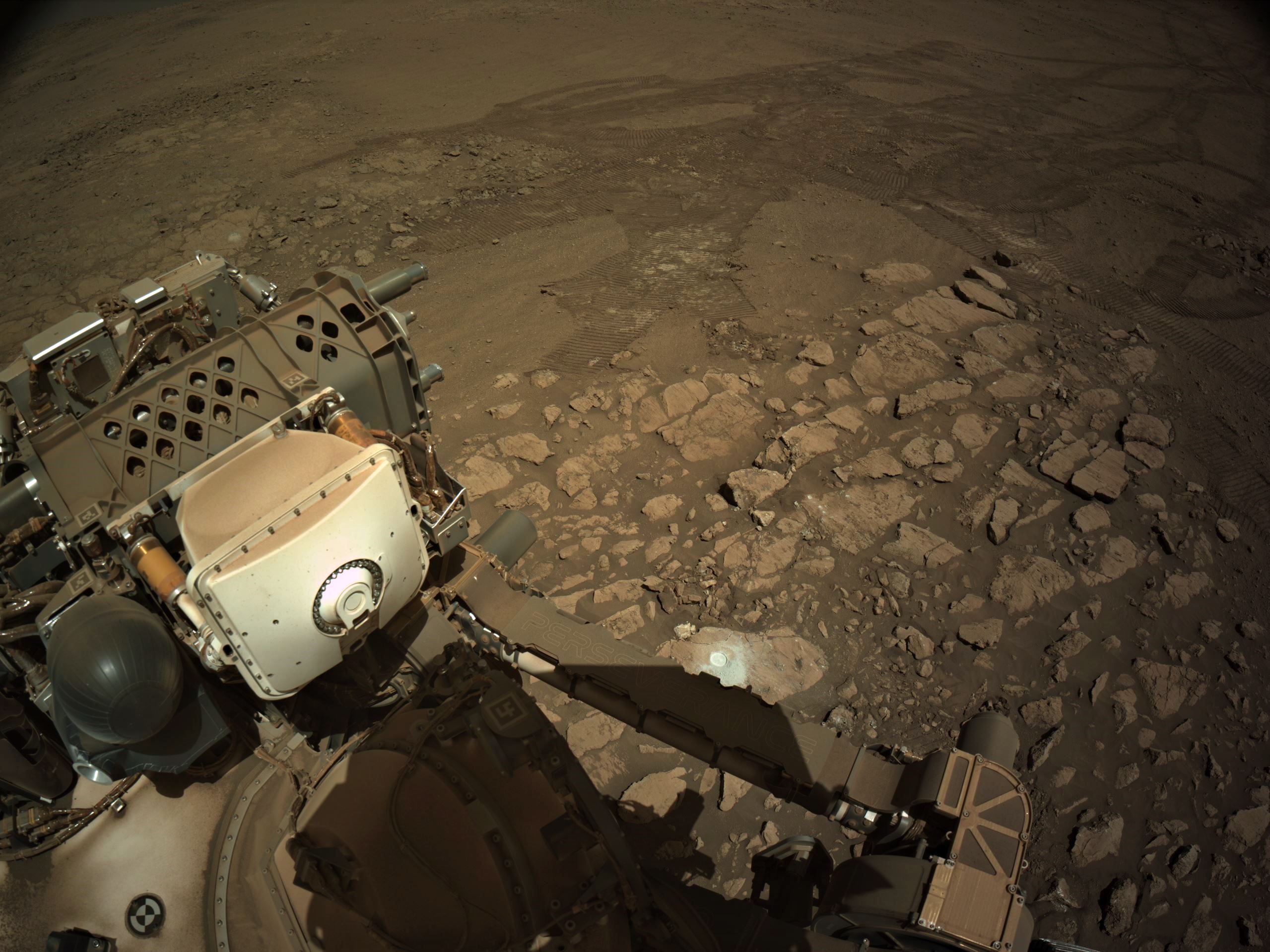
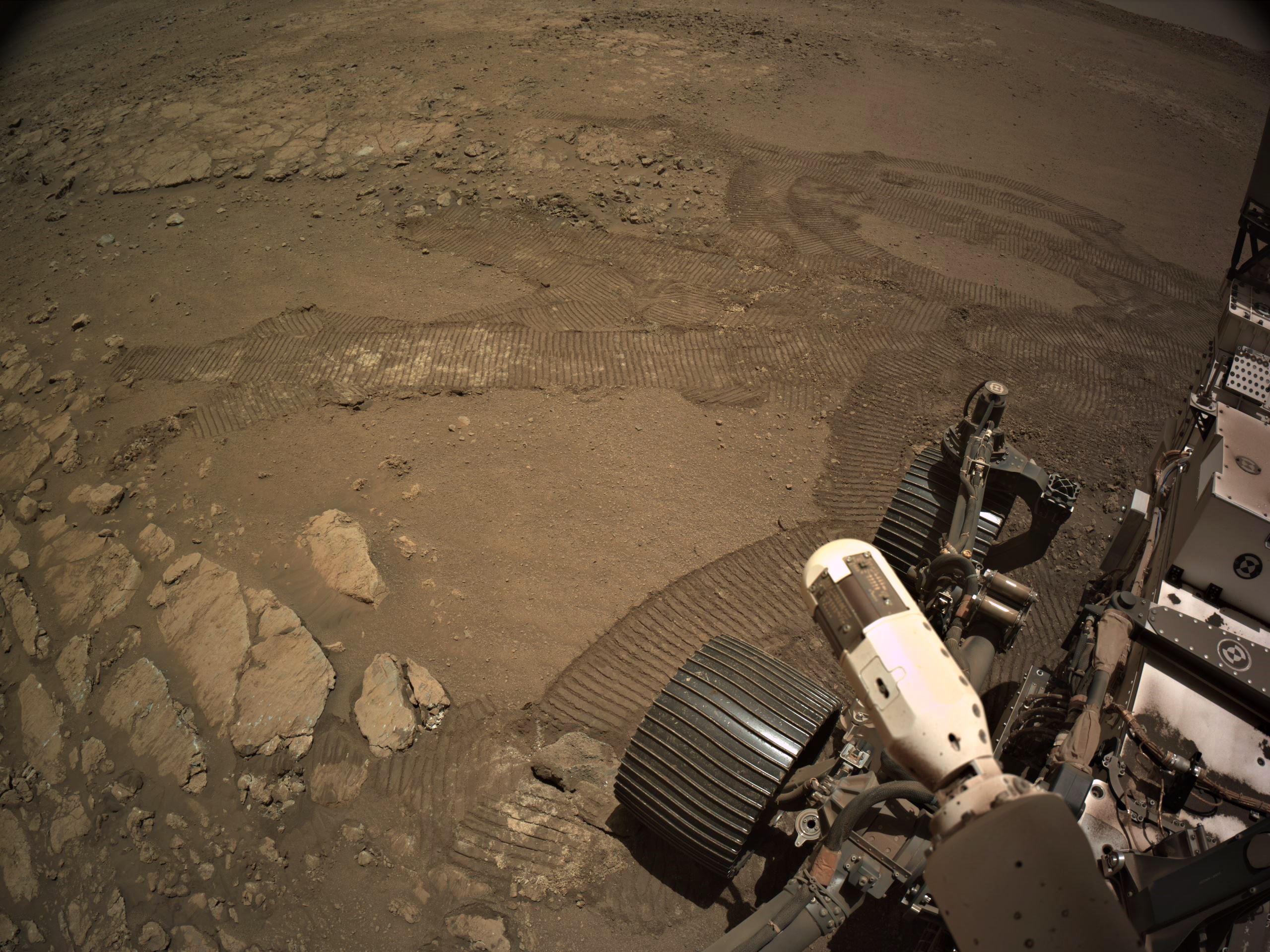
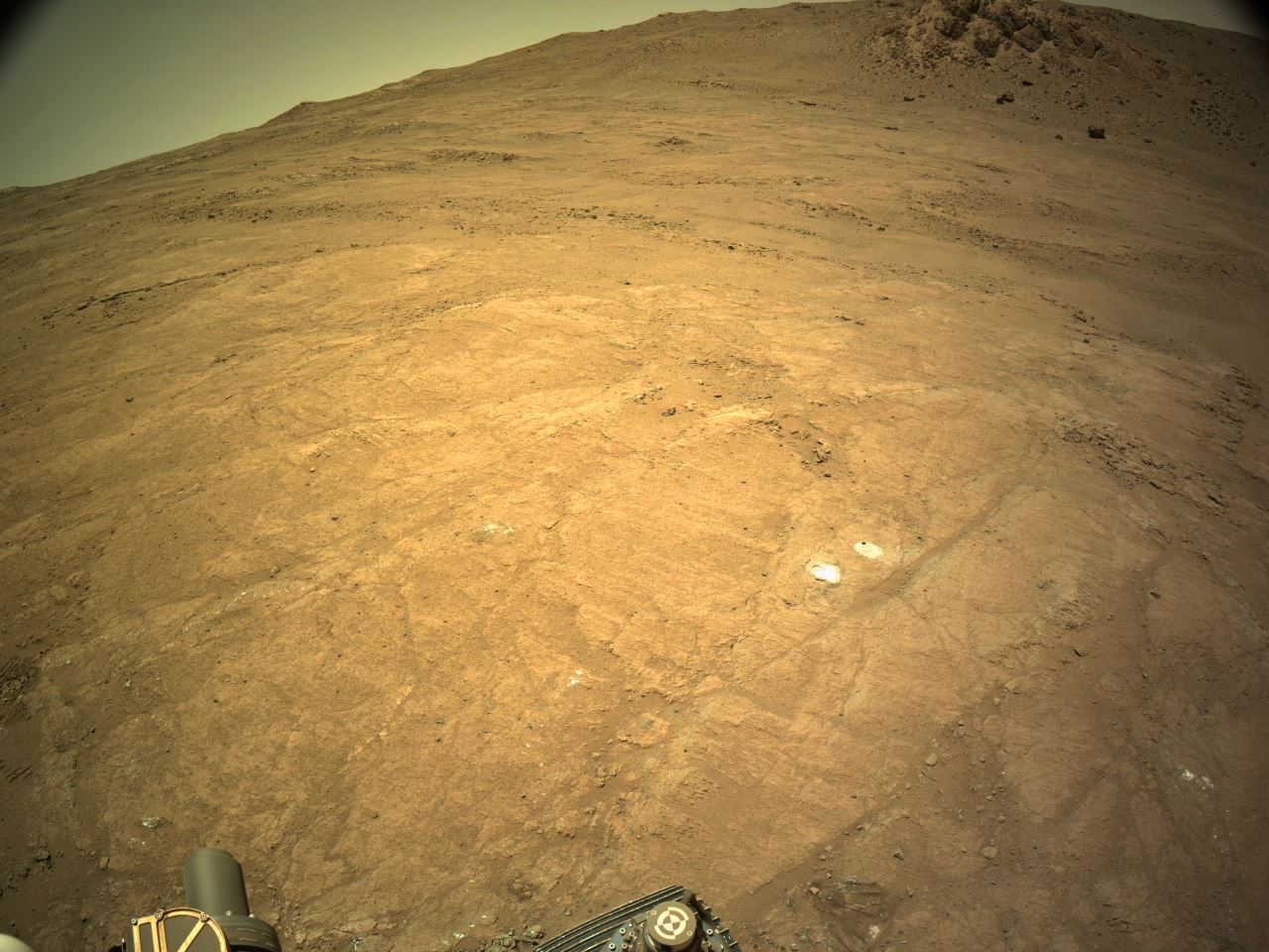
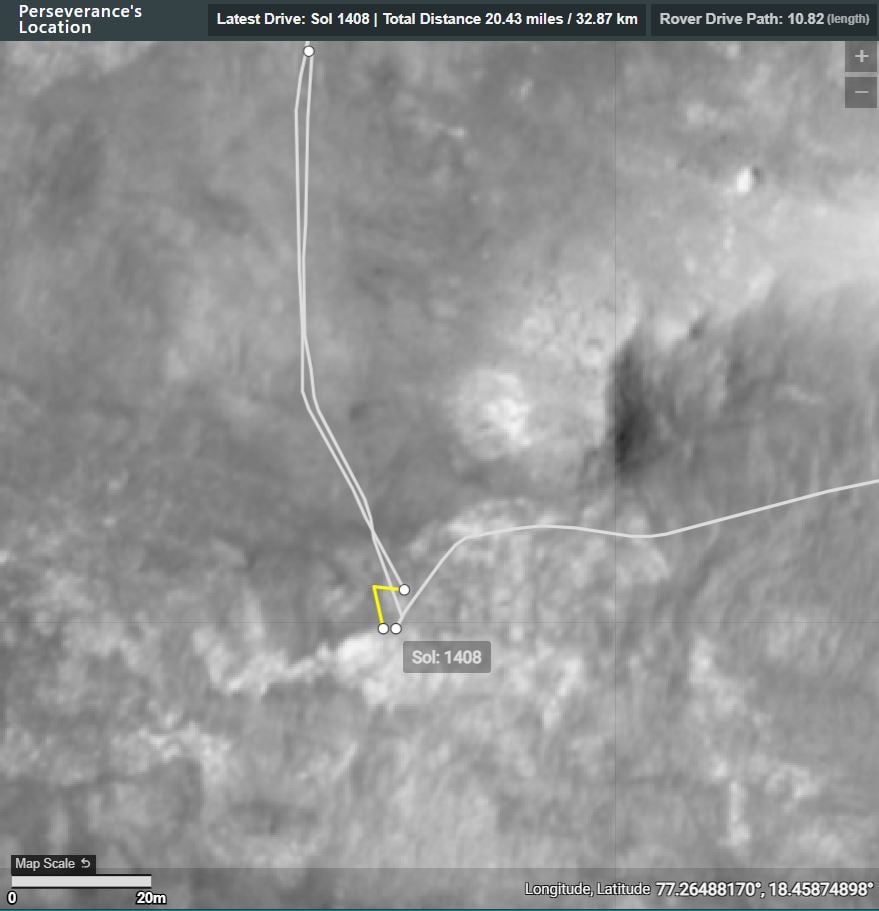
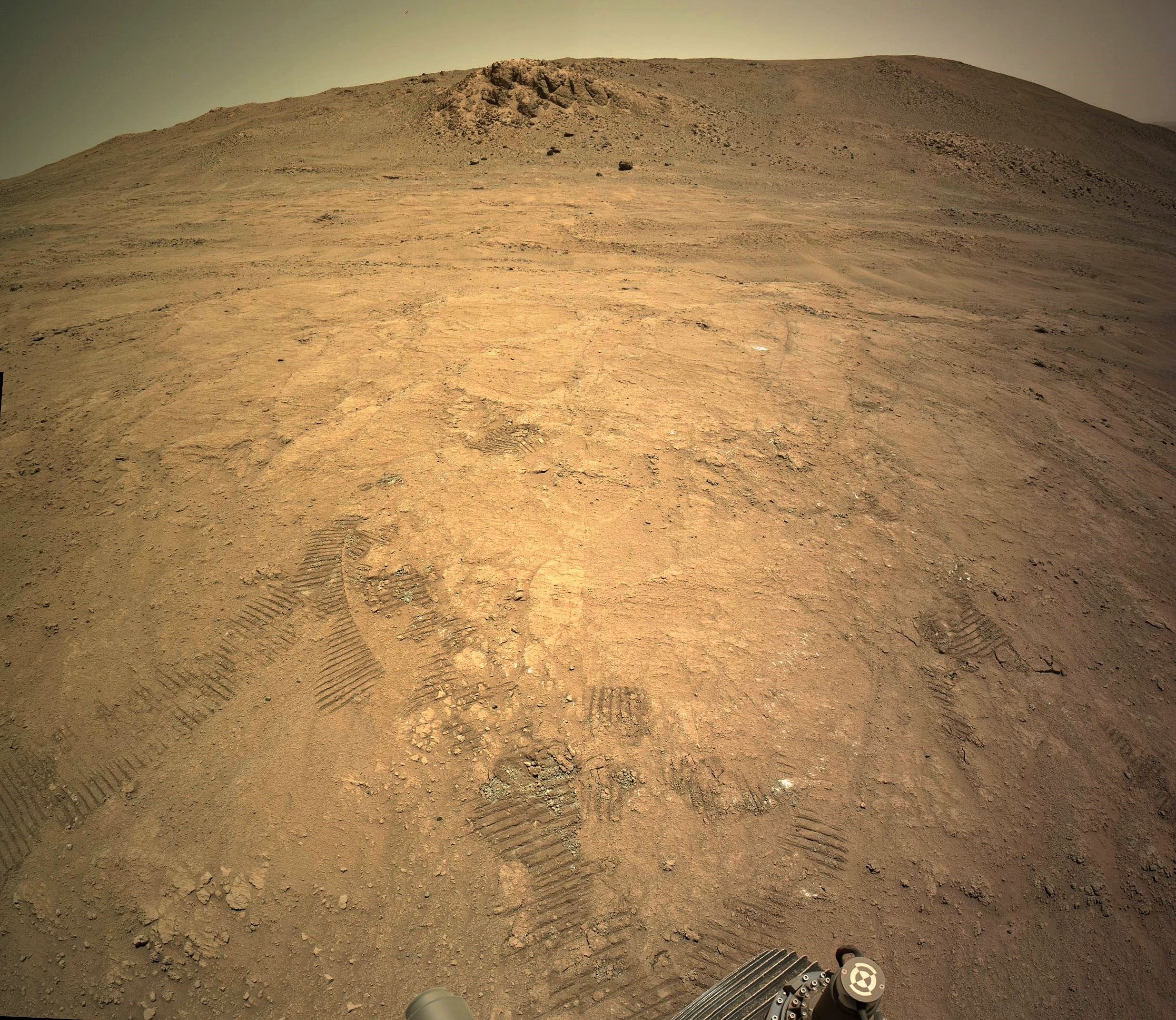
After wrapping up at Mill Brook — including a ZCAM multispectral scan of “Berry Hill” — Perseverance took a 140-meter drive (about 459 feet) to “Blue Hill” at “Shallow Bay,” a site of immense scientific interest. The rocks here are rich in low-calcium pyroxene (LCP), making them one of the most intriguing sample targets of the mission so far.
The significance of Blue Hill extends beyond just this one location. The pyroxene-rich nature of the site suggests a potential link to a much larger rock unit visible in orbital HiRISE images. Given that this may be the only exposure of these materials within our planned traverse, our science team prioritized sampling this Noachian-aged outcrop, a rare window into Mars’ deep past.
And now, we are thrilled to announce:
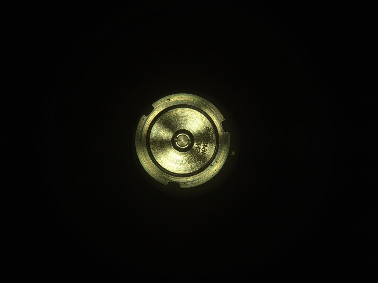
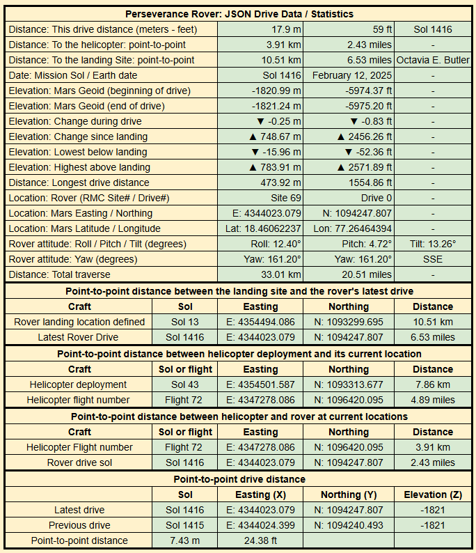
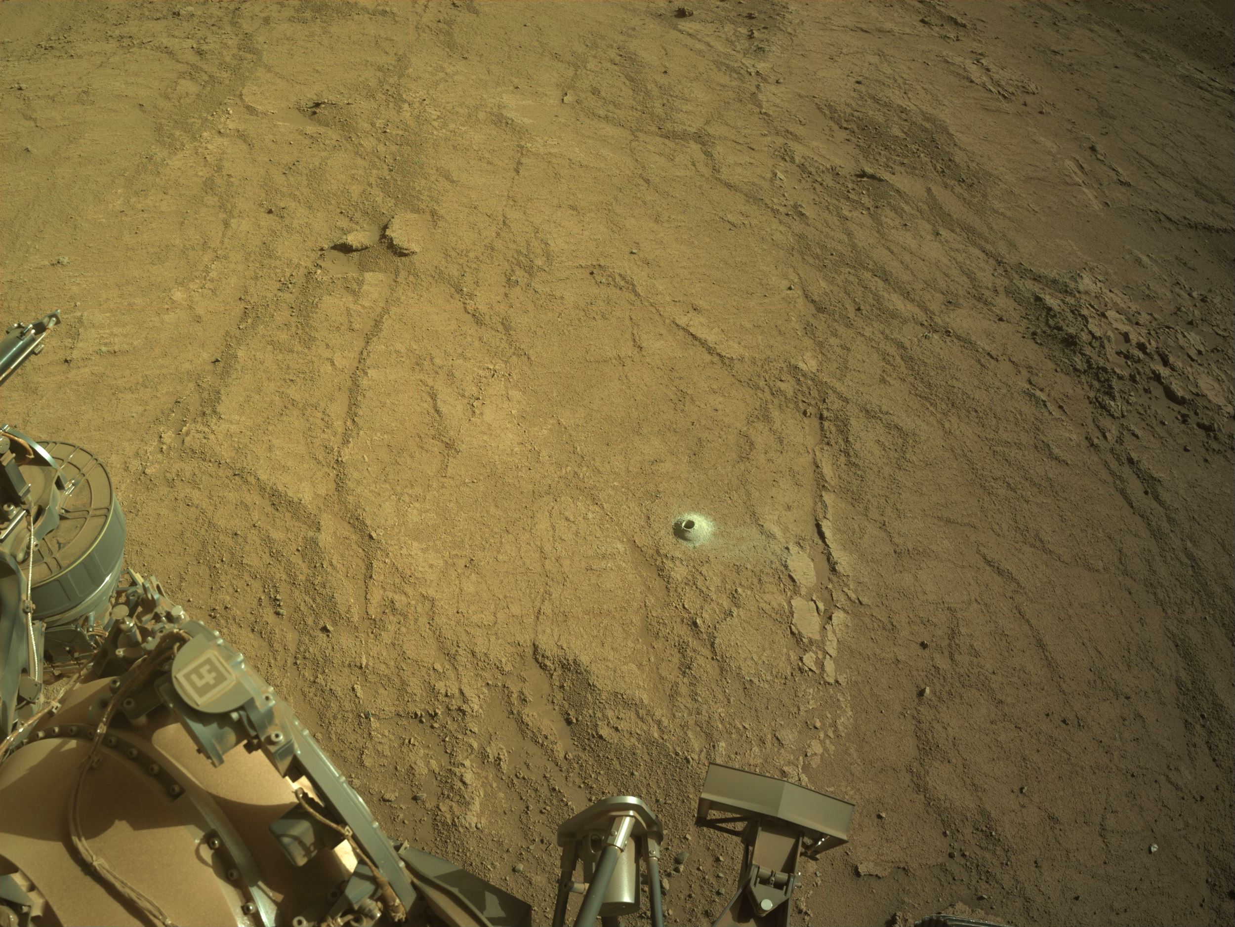
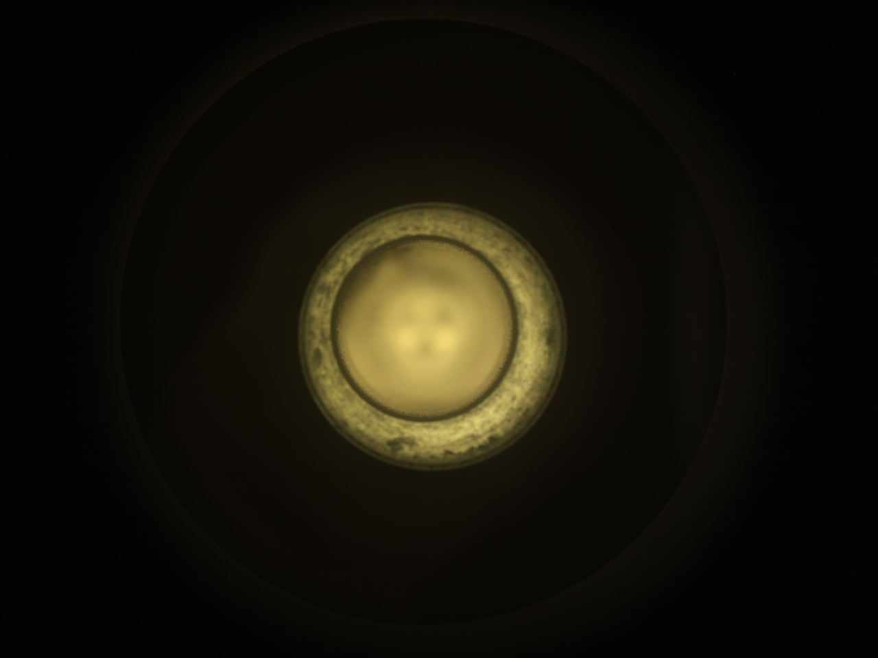
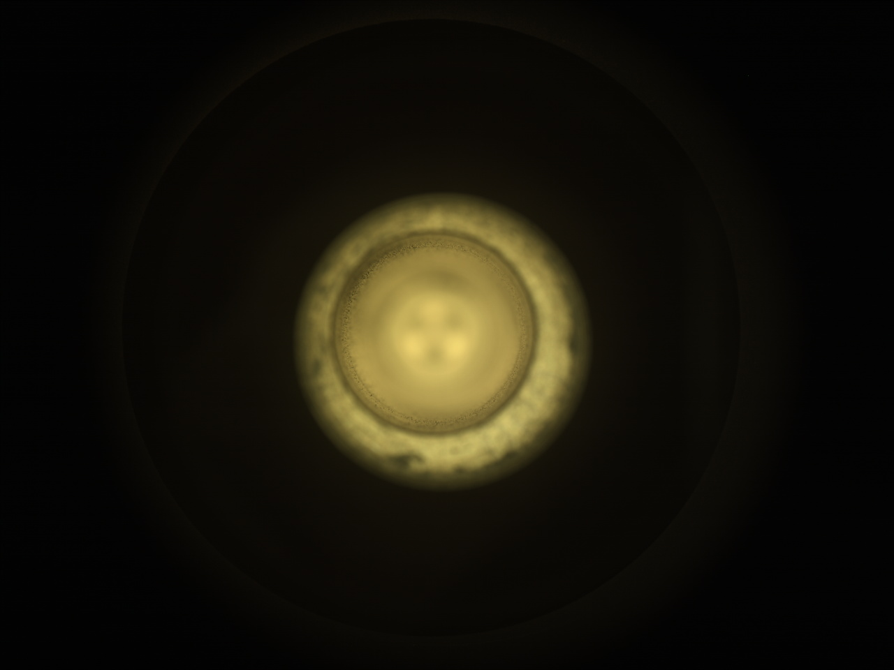
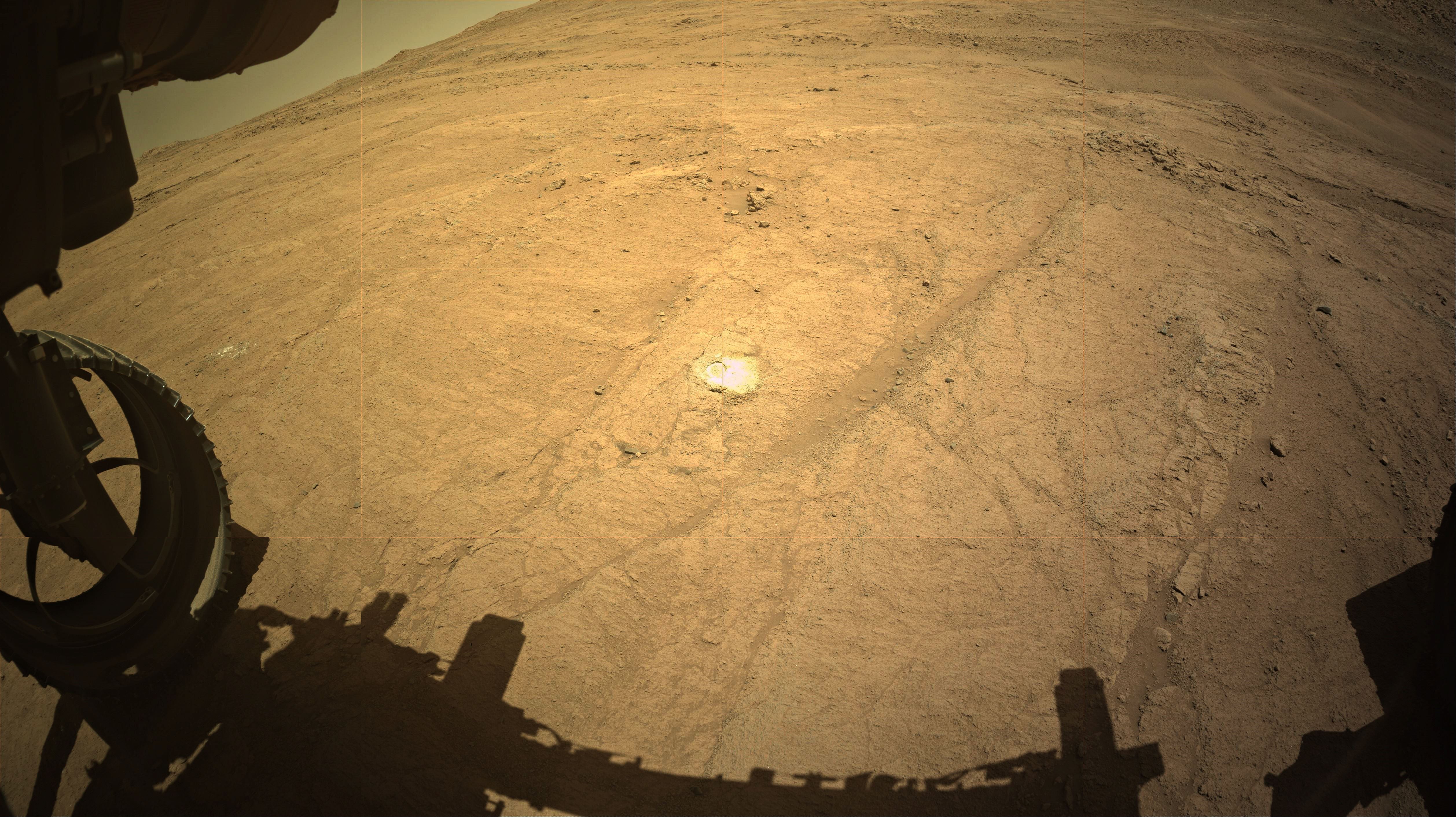
Perseverance has successfully cored and sealed a 2.9-centimeter (1.1-inch) rock sample from Blue Hill, officially named “Silver Mountain.” This marks our first Noachian-aged outcrop sample, an important milestone in our mission to uncover the geological history of Jezero Crater. Since Shallow Bay-Shoal Brook is the only location along our planned route where this regional low-calcium pyroxene unit was identified from orbit, this sample is a one-of-a-kind treasure for future Mars Sample Return analyses.
As we enter the Year of the Snake, it seems fitting that serpentine-bearing rocks have slithered into our focus! While Blue Hill remains a top priority, the tactical team has been highly responsive to the science team’s overwhelming interest in the nearby serpentine-bearing outcrops. These rocks, which may reveal critical clues about past water activity and potential habitability, are now part of our exploration strategy.
Between our Noachian-aged pyroxene sample and the newfound focus on serpentine-bearing rocks, our journey through Jezero Crater has never been more exciting. Each step — each scan, each drive, each core sample — brings us closer to understanding Mars’ complex past.
As Perseverance continues to, well, persevere, and as we embrace the Year of the Snake, we can’t help but marvel at the poetic alignment of science and tradition. Here’s to a year of wisdom, resilience, and groundbreaking discoveries — both on Earth and 225 million kilometers (140 million miles) away!
Stay tuned as we unravel the next chapter in Mars exploration!
Written by Nicolas Randazzo, Postdoctoral Scientist at University of Alberta
